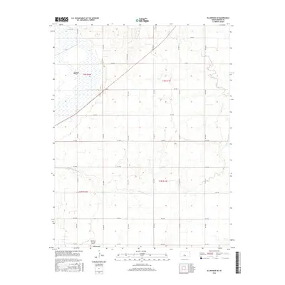
2016 Map of Ellinwood NE
USGS Topo · Published 2016About this map
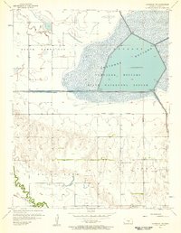
Cheyenne Bottoms dominates the northwestern portion of this Barton County landscape, marking a significant wetland basin within the Great Bend Prairie. The terrain is defined by a systematic grid of section roads, including NE 90 Ave and NE 10 Rd, which partition the agricultural expanse. In the south, the northern edge of Ellinwood appears alongside the Ellinwood Municipal Airport, indicating the intersection of local aviation and rural commerce. Natural drainage is dictated by the winding paths of Little Cheyenne Cr and Cow Cr, which meander through the central and eastern sections. The presence of Camp Aldrich in the north-central area provides a rare break in the agricultural pattern, signifying a dedicated space for recreation or organizational use within this predominantly flat, surveyed territory.
Find a feature on this map
26 named features on this map. Tap any name to fly to it.
Don’t see what you’re looking for? This feature index may not catch every label — zoom into the map to look around manually.
Map Details
Editions of this 2016 Ellinwood NE Map
This is the sole edition of this map. No revisions or reprints were ever made.
Other maps of this area
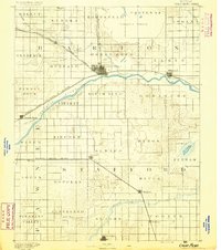
1891 · Great Bend
USGS Topo · 1:125,000
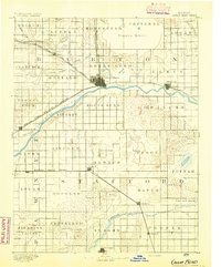
1893 · Great Bend
USGS Topo · 1:125,000
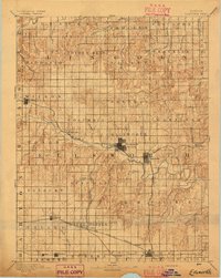
1894 · Ellsworth
USGS Topo · 1:125,000
1894 · Lyons
USGS Topo · 1:125,000
1896 · Russell
USGS Topo · 1:125,000
1955 · Great Bend
USGS Topo · 1:250,000
1956 · Ellinwood NE
USGS Topo · 1:24,000
1956 · Ellinwood NW
USGS Topo · 1:24,000
1957 · Great Bend
USGS Topo · 1:250,000
1957 · Ellinwood SW
USGS Topo · 1:24,000