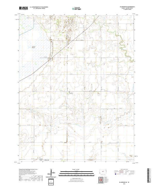
2022 Map of Ellinwood NE
USGS Topo · Published 2022About this map
The Cheyenne Bottoms wetlands dominate the northwestern corner of this Barton County landscape, where managed water levels are visible in Pool 4A, Pool 4B, and Pool 3B. This complex hydrologic system is supported by the winding courses of Little Cheyenne Cr and Cow Cr, which drain the surrounding agricultural plains. The map reflects a rural Kansas environment defined by a strict section-line road grid, including routes like NE 50 Rd and NE 110 Ave.
Find a feature on this map
30 named features on this map. Tap any name to fly to it.
Don’t see what you’re looking for? This feature index may not catch every label — zoom into the map to look around manually.
Map Details
Editions of this 2022 Ellinwood NE Map
This is the sole edition of this map. No revisions or reprints were ever made.
Other maps of this area

1891 · Great Bend
USGS Topo · 1:125,000

1893 · Great Bend
USGS Topo · 1:125,000

1894 · Ellsworth
USGS Topo · 1:125,000

1894 · Lyons
USGS Topo · 1:125,000

1896 · Russell
USGS Topo · 1:125,000

1955 · Great Bend
USGS Topo · 1:250,000

1956 · Ellinwood NE
USGS Topo · 1:24,000

1956 · Ellinwood NW
USGS Topo · 1:24,000

1957 · Great Bend
USGS Topo · 1:250,000

1957 · Ellinwood SW
USGS Topo · 1:24,000