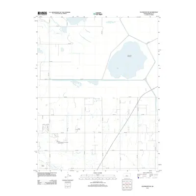
2012 Map of Ellinwood NW
USGS Topo · Published 2012About this map
Cheyenne Bottoms dominates the northeastern landscape of this Barton County region, representing a critical wetland ecosystem in the central flyway. The map captures a moment in 2012 where the intersection of environmental conservation and local infrastructure is clearly defined. To the southwest, the campus of Barton County Community Coll serves as a local landmark, supported by its own Barton County Community College Water Treatment Facility.
Find a feature on this map
30 named features on this map. Tap any name to fly to it.
Don’t see what you’re looking for? This feature index may not catch every label — zoom into the map to look around manually.
Map Details
Editions of this 2012 Ellinwood NW Map
This is the sole edition of this map. No revisions or reprints were ever made.
Other maps of this area

1891 · Great Bend
USGS Topo · 1:125,000

1893 · Great Bend
USGS Topo · 1:125,000

1896 · Russell
USGS Topo · 1:125,000

1955 · Great Bend
USGS Topo · 1:250,000

1956 · Ellinwood NE
USGS Topo · 1:24,000

1956 · Ellinwood NW
USGS Topo · 1:24,000

1957 · Great Bend
USGS Topo · 1:250,000

1957 · Ellinwood SW
USGS Topo · 1:24,000

1957 · Ellinwood
USGS Topo · 1:24,000

1958 · Great Bend
USGS Topo · 1:250,000