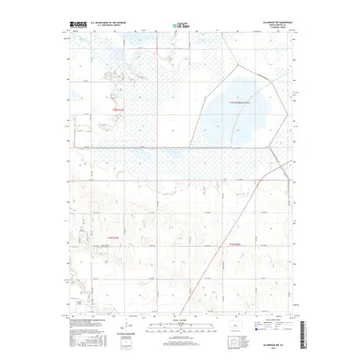
2016 Map of Ellinwood NW
USGS Topo · Published 2016About this map
Cheyenne Bottoms dominates the northern half of this landscape, a significant wetland basin situated in the heart of the central flyway. The 2016 survey illustrates the intricate network of water management through the marshlands, fed by Blood Cr and bordered by Cheyenne Bottoms Rd. This transition from the flat, aquatic environment of the bottoms to the more dissected terrain further south reveals the hydraulic character of Barton County.
Find a feature on this map
34 named features on this map. Tap any name to fly to it.
Don’t see what you’re looking for? This feature index may not catch every label — zoom into the map to look around manually.
Map Details
Editions of this 2016 Ellinwood NW Map
This is the sole edition of this map. No revisions or reprints were ever made.
Other maps of this area
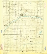
1891 · Great Bend
USGS Topo · 1:125,000
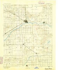
1893 · Great Bend
USGS Topo · 1:125,000
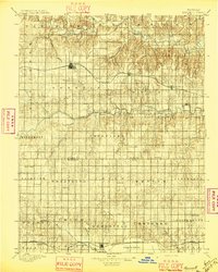
1896 · Russell
USGS Topo · 1:125,000
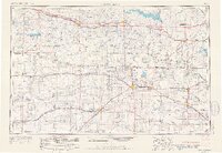
1955 · Great Bend
USGS Topo · 1:250,000
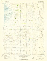
1956 · Ellinwood NE
USGS Topo · 1:24,000
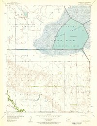
1956 · Ellinwood NW
USGS Topo · 1:24,000
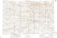
1957 · Great Bend
USGS Topo · 1:250,000
1957 · Ellinwood SW
USGS Topo · 1:24,000
1957 · Ellinwood
USGS Topo · 1:24,000
1958 · Great Bend
USGS Topo · 1:250,000