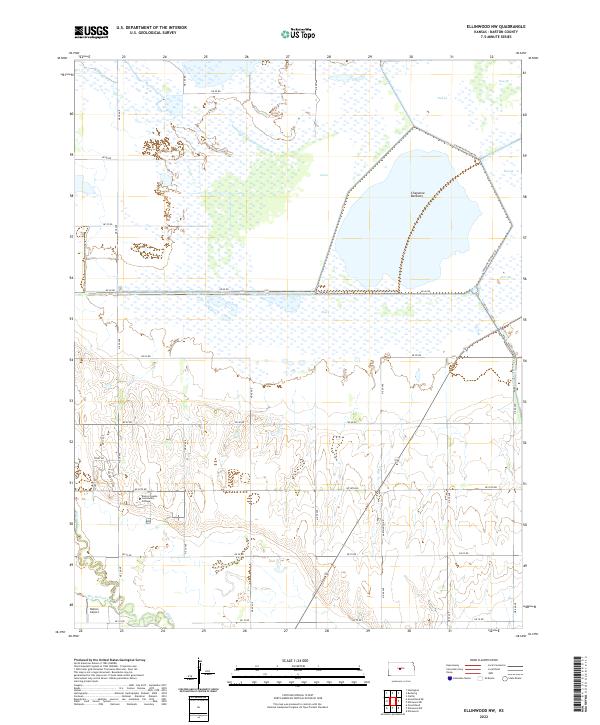
2022 Map of Ellinwood NW
USGS Topo · Published 2022About this map
The expansive wetlands of Cheyenne Bottoms dominate the northern half of this Barton County landscape, organized into managed segments such as Pool 2, Pool 3A, and Pool 5. This complex hydrological system is fed by drainage from Blood Cr and Little Cheyenne Cr, illustrating the critical role of this basin in the regional geography. To the south, the terrain transitions toward the drainage of Walnut Cr and its tributary, Dry Walnut Cr, where the land is carved by gentle coulees and agricultural section roads.
Find a feature on this map
40 named features on this map. Tap any name to fly to it.
Don’t see what you’re looking for? This feature index may not catch every label — zoom into the map to look around manually.
Map Details
Editions of this 2022 Ellinwood NW Map
This is the sole edition of this map. No revisions or reprints were ever made.
Other maps of this area

1891 · Great Bend
USGS Topo · 1:125,000

1893 · Great Bend
USGS Topo · 1:125,000

1896 · Russell
USGS Topo · 1:125,000

1955 · Great Bend
USGS Topo · 1:250,000

1956 · Ellinwood NE
USGS Topo · 1:24,000

1956 · Ellinwood NW
USGS Topo · 1:24,000

1957 · Great Bend
USGS Topo · 1:250,000

1957 · Ellinwood SW
USGS Topo · 1:24,000

1957 · Ellinwood
USGS Topo · 1:24,000

1958 · Great Bend
USGS Topo · 1:250,000