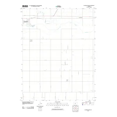
2009 Map of Ellinwood SW
USGS Topo · Published 2009About this map
Great Bend dominates the northwestern corner of this Kansas landscape, where the urban grid meets the agricultural heartland of Barton County. The eastern edge of the city transitions into a network of section-line roads, revealing the quiet settlement of Dartmouth. The region is defined by its hydrology, specifically the eastward flow of the Arkansas River and its tributary, Walnut Creek, which meanders across the northern portion of the sheet. The survey records a rural landscape organized around education and transport, anchored by the Bellville School to the south. Transportation corridors like E Barton County Rd and 10th St link the scattered farmsteads to the regional center, while the grid of numbered avenues and roads illustrates the deliberate survey patterns that shaped the plains.
Find a feature on this map
34 named features on this map. Tap any name to fly to it.
Don’t see what you’re looking for? This feature index may not catch every label — zoom into the map to look around manually.
Map Details
Editions of this 2009 Ellinwood SW Map
This is the sole edition of this map. No revisions or reprints were ever made.
Other maps of this area

1891 · Great Bend
USGS Topo · 1:125,000

1893 · Great Bend
USGS Topo · 1:125,000

1955 · Great Bend
USGS Topo · 1:250,000

1956 · Ellinwood NE
USGS Topo · 1:24,000

1956 · Ellinwood NW
USGS Topo · 1:24,000

1957 · Great Bend
USGS Topo · 1:250,000

1957 · Ellinwood SW
USGS Topo · 1:24,000

1957 · Ellinwood
USGS Topo · 1:24,000

1958 · Great Bend
USGS Topo · 1:250,000

1958 · Great Bend
USGS Topo · 1:24,000