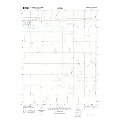
2012 Map of Ellinwood SW
USGS Topo · Published 2012About this map
Arkansas River and Walnut Cr define the hydrological landscape of this region in Barton County, where the plains meet essential water resources. The settlement at Dartmouth sits along the northern rail and road corridor, serving as a focal point for local transit near Barton Co Rd. To the west, the Great Bend Water Treatment Facility indicates the modern infrastructure supporting the nearby population center. The southern portion of the quadrangle is predominantly defined by a rigid section-line road grid, characteristic of Kansas agricultural planning, punctuated by landmarks such as the Bellville School. This arrangement of rural roads like SE 60 Ave and SE 20 Rd illustrates the enduring layout of the township and range system as it existed in the early 21st century.
Find a feature on this map
53 named features on this map. Tap any name to fly to it.
Don’t see what you’re looking for? This feature index may not catch every label — zoom into the map to look around manually.
Map Details
Editions of this 2012 Ellinwood SW Map
This is the sole edition of this map. No revisions or reprints were ever made.
Other maps of this area

1891 · Great Bend
USGS Topo · 1:125,000

1893 · Great Bend
USGS Topo · 1:125,000

1955 · Great Bend
USGS Topo · 1:250,000

1956 · Ellinwood NE
USGS Topo · 1:24,000

1956 · Ellinwood NW
USGS Topo · 1:24,000

1957 · Great Bend
USGS Topo · 1:250,000

1957 · Ellinwood SW
USGS Topo · 1:24,000

1957 · Ellinwood
USGS Topo · 1:24,000

1958 · Great Bend
USGS Topo · 1:250,000

1958 · Great Bend
USGS Topo · 1:24,000