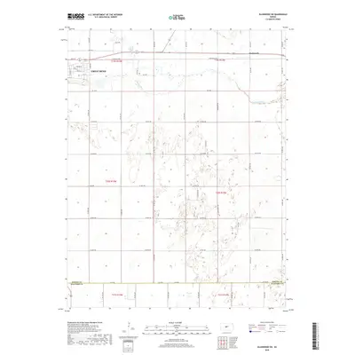
2018 Map of Ellinwood SW
USGS Topo · Published 2018About this map
Great Bend anchors the northwestern corner of this Kansas landscape, where the urban grid of Chestnut St and Park Ave transitions into the productive agricultural plains of Barton and Stafford counties. The hydrology of the region is defined by the Arkansas River and Walnut Cr, which meander across the terrain, shaping the historical development and road layout. The small settlement of Dartmouth sits to the east, connected by the prominent E Barton Co Rd and a network of section roads like Kiowa Rd. This 2018 survey illustrates the persistent importance of the section-line grid in Central Kansas, showing how modern county roads continue to follow the Public Land Survey System boundaries established generations ago.
Find a feature on this map
53 named features on this map. Tap any name to fly to it.
Don’t see what you’re looking for? This feature index may not catch every label — zoom into the map to look around manually.
Map Details
Editions of this 2018 Ellinwood SW Map
This is the sole edition of this map. No revisions or reprints were ever made.
Other maps of this area
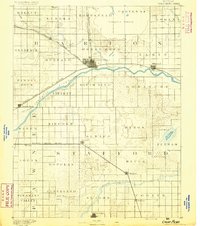
1891 · Great Bend
USGS Topo · 1:125,000
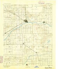
1893 · Great Bend
USGS Topo · 1:125,000

1955 · Great Bend
USGS Topo · 1:250,000
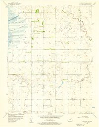
1956 · Ellinwood NE
USGS Topo · 1:24,000
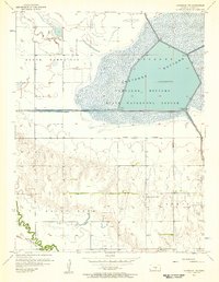
1956 · Ellinwood NW
USGS Topo · 1:24,000

1957 · Great Bend
USGS Topo · 1:250,000
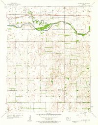
1957 · Ellinwood SW
USGS Topo · 1:24,000
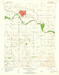
1957 · Ellinwood
USGS Topo · 1:24,000

1958 · Great Bend
USGS Topo · 1:250,000
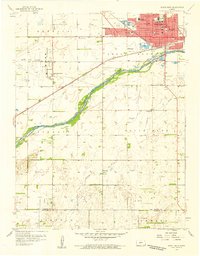
1958 · Great Bend
USGS Topo · 1:24,000