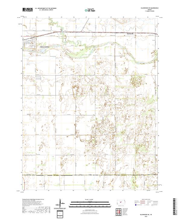
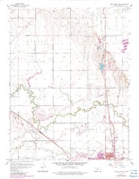
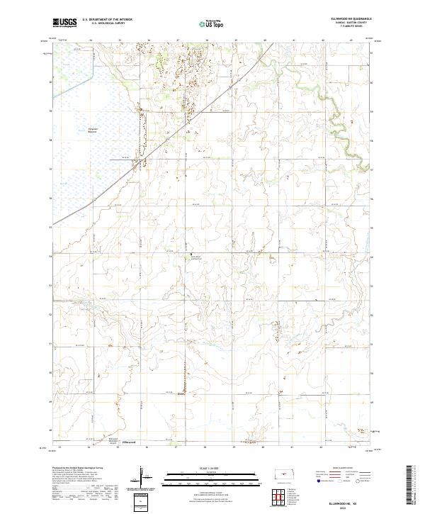
2022 Map of Ellinwood SW
USGS Topo · Published 2022This historical map portrays the area of Ellinwood SW in 2022, primarily covering Barton County as well as portions of Stafford County. Featuring a scale of 1:24000, this map provides a highly detailed snapshot of the terrain, roads, buildings, counties, and historical landmarks in the Ellinwood SW region at the time. Published in 2022, it is the sole known edition of this map.
Find a feature on this map
49 named features on this map. Tap any name to fly to it.
Don’t see what you’re looking for? This feature index may not catch every label — zoom into the map to look around manually.
Map Details
Editions of this 2022 Ellinwood SW Map
This is the sole edition of this map. No revisions or reprints were ever made.
Historical Maps of Dartmouth Through Time
14 maps found
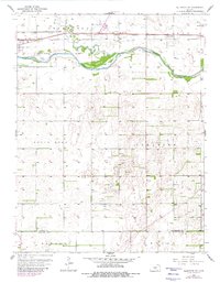
1956 Ellinwood NE
Barton County, KS
1956 Ellinwood NW
Barton County, KS
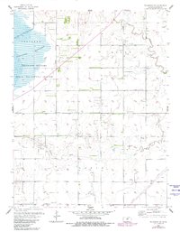
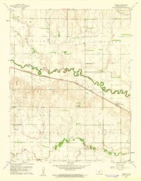
1957 Ellinwood SW
Barton County, KS
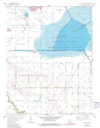
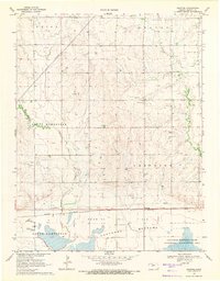
1959 Great Bend NE
Barton County, KS
1960 Heizer
Barton County, KS
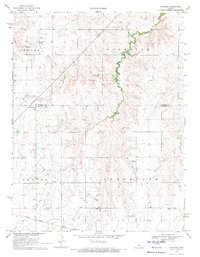
1969 Dubuque
Barton County, KS
1969 Redwing
Barton County, KS
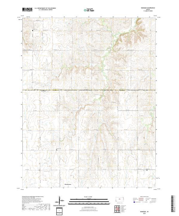
2022 Dubuque
Barton County, KS
2022 Ellinwood NE
Barton County, KS
2022 Ellinwood NW
Barton County, KS
2022 Ellinwood SW
Barton County, KS
2022 Great Bend NE
Barton County, KS
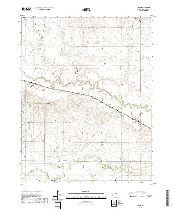
2022 Heizer
Barton County, KS
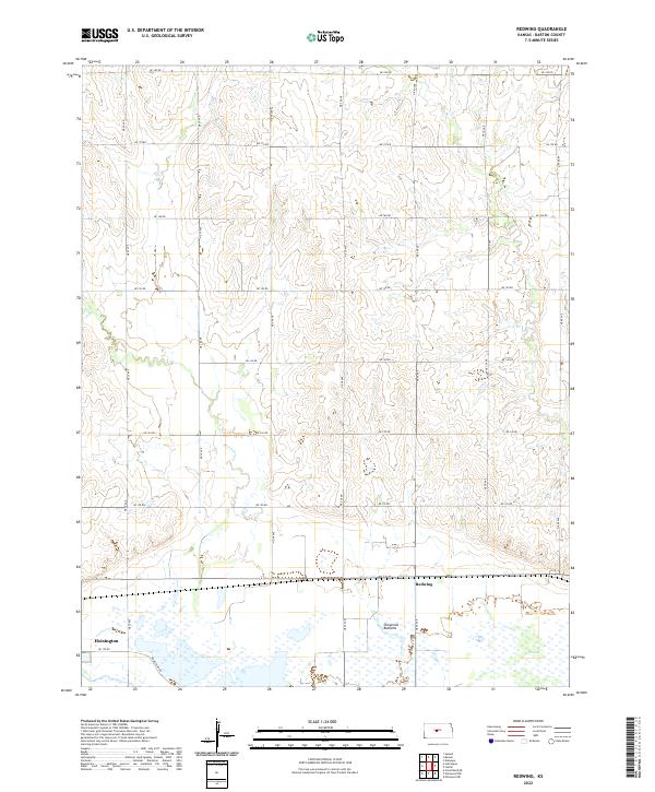
2022 Redwing
Barton County, KS