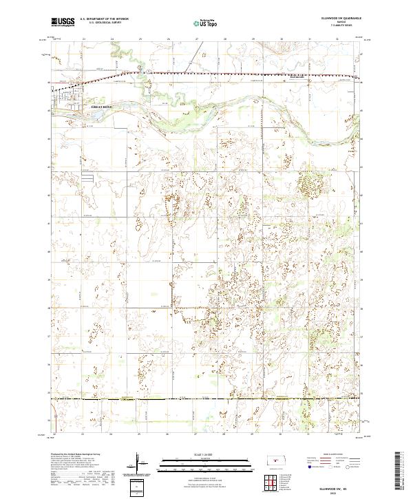
2022 Map of Ellinwood SW
USGS Topo · Published 2022About this map
The Arkansas River meanders across the northern portion of this landscape, defining the character of the river valley as it transitions into the southern Kansas plains. The eastern edge of Great Bend is visible in the northwest, where a structured grid of streets like 10th St and Chestnut St gives way to the more open reaches of the riverbank. Further east along the E Barton Co Rd corridor lies the small community of Dartmouth, a quiet point of interest in this agricultural region.
Find a feature on this map
49 named features on this map. Tap any name to fly to it.
Don’t see what you’re looking for? This feature index may not catch every label — zoom into the map to look around manually.
Map Details
Editions of this 2022 Ellinwood SW Map
This is the sole edition of this map. No revisions or reprints were ever made.
Other maps of this area

1891 · Great Bend
USGS Topo · 1:125,000

1893 · Great Bend
USGS Topo · 1:125,000

1955 · Great Bend
USGS Topo · 1:250,000

1956 · Ellinwood NE
USGS Topo · 1:24,000

1956 · Ellinwood NW
USGS Topo · 1:24,000

1957 · Great Bend
USGS Topo · 1:250,000

1957 · Ellinwood SW
USGS Topo · 1:24,000

1957 · Ellinwood
USGS Topo · 1:24,000

1958 · Great Bend
USGS Topo · 1:250,000

1958 · Great Bend
USGS Topo · 1:24,000