
1949 Map of Elliott Key
USGS Topo · Published 1949About this map
Elliott Key stretches between the calm waters of Biscayne Bay and the open Atlantic Ocean, showing a mid-century landscape of remote island outposts before the modern era of conservation. Small settlements and points like Elliott, Mick, Ajax, and Done are scattered along the narrow limestone ridge of the key. The map documents a maritime economy defined by navigational aids and natural harbors, with numerous beacons such as Elliott Key Beacon No 13 and Pacific Reef Beacon No 5 guiding vessels through the Pacific Reef Channel. To the south, a complex network of smaller islands including Adams Key, Porgy Key, and Old Rhodes Key creates a labyrinth of tidal creeks like Caesar Creek. This 1940s topography reflects the era's reliance on coastal landmarks and small-scale habitation prior to the establishment of major protected parklands.
Find a feature on this map
41 named features on this map. Tap any name to fly to it.
Don’t see what you’re looking for? This feature index may not catch every label — zoom into the map to look around manually.
Map Details
Editions of this 1949 Elliott Key Map
This is the sole edition of this map. No revisions or reprints were ever made.
Other maps of this area

1948 · Soldier Key
USGS Topo · 1:24,000

1949 · Card Sound
USGS Topo · 1:24,000

1949 · Pacific Reef
USGS Topo · 1:24,000

1949 · Arsenicker Keys
USGS Topo · 1:24,000

1949 · Perrine
USGS Topo · 1:24,000

1956 · Card Sound
USGS Topo · 1:24,000
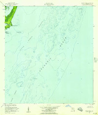
1956 · Pacific Reef
USGS Topo · 1:24,000
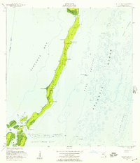
1956 · Elliott Key
USGS Topo · 1:24,000

1956 · Perrine
USGS Topo · 1:24,000
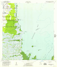
1956 · Arsenicker Keys
USGS Topo · 1:24,000