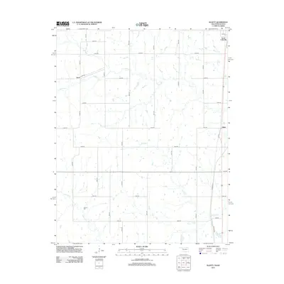
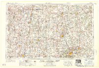
2013 Map of Elliott
USGS Topo · Published 2013About this map
South Coffeyville anchors the northeastern corner of this 2013 survey, marking the interstate border where Oklahoma meets Kansas. The landscape transitions from the developed corridors of Shawnee Ave and 3rd St to a vast rural grid defined by section-line roads like N4100 Rd and E0050 Rd. The terrain is drained by a network of waterways including Opossum Cr, Hickory Cr, and California Cr, which wind through the agricultural fields and wooded draws of Nowata County.
Find a feature on this map
27 named features on this map. Tap any name to fly to it.
Don’t see what you’re looking for? This feature index may not catch every label — zoom into the map to look around manually.
Map Details
Editions of this 2013 Elliott Map
This is the sole edition of this map. No revisions or reprints were ever made.
Other maps of this area
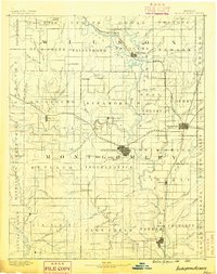
1886 · Independence
USGS Topo · 1:125,000
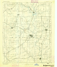
1894 · Independence
USGS Topo · 1:125,000
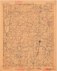
1901 · Nowata
USGS Topo · 1:125,000
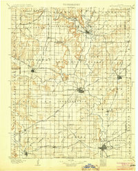
1905 · Independence
USGS Topo · 1:125,000
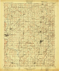
1914 · Nowata
USGS Topo · 1:125,000

1947 · Joplin
USGS Topo · 1:250,000
1949 · Joplin
USGS Topo · 1:250,000

1954 · Tulsa
USGS Topo · 1:250,000
1954 · Joplin
USGS Topo · 1:250,000
1958 · Joplin
USGS Topo · 1:250,000