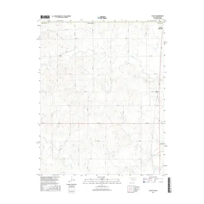
2016 Map of Elliott
USGS Topo · Published 2016About this map
South Coffeyville anchor the northern boundary of this Nowata County landscape, where the Oklahoma-Kansas state line cuts through a territory defined by a grid of rural roads and meandering drainage systems. The terrain is marked by the winding courses of Opossum Creek and Hickory Creek, which flow through an area dotted with long-established landmarks for genealogists and local historians. Small, named settlements like Noxie and Elliott serve as focal points for the surrounding agricultural community.
Find a feature on this map
27 named features on this map. Tap any name to fly to it.
Don’t see what you’re looking for? This feature index may not catch every label — zoom into the map to look around manually.
Map Details
Editions of this 2016 Elliott Map
This is the sole edition of this map. No revisions or reprints were ever made.
Other maps of this area
1886 · Independence
USGS Topo · 1:125,000
1894 · Independence
USGS Topo · 1:125,000
1901 · Nowata
USGS Topo · 1:125,000
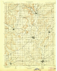
1905 · Independence
USGS Topo · 1:125,000
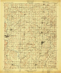
1914 · Nowata
USGS Topo · 1:125,000

1947 · Joplin
USGS Topo · 1:250,000
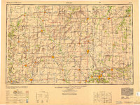
1949 · Joplin
USGS Topo · 1:250,000

1954 · Tulsa
USGS Topo · 1:250,000
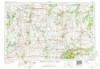
1954 · Joplin
USGS Topo · 1:250,000
1958 · Joplin
USGS Topo · 1:250,000