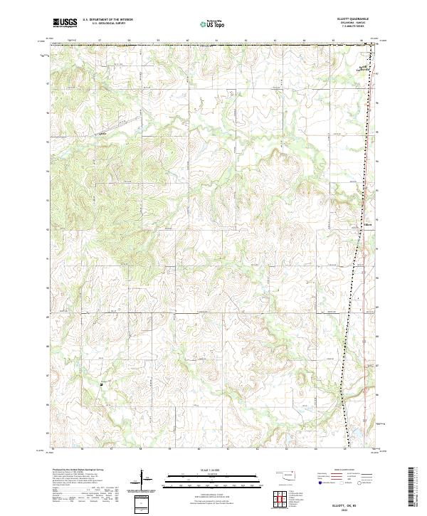
2022 Map of Elliott
USGS Topo · Published 2022About this map
South Coffeyville and Elliott anchor the eastern edge of this northern Nowata County landscape, where the Oklahoma plains meet the Kansas border. The terrain is defined by a dense network of meandering waterways, including Opossum Creek and Hickory Creek, which carve through the sectional grid of the Public Land Survey System. These creek valleys dictate the placement of local roads and smaller settlements like Noxie, which sits along the western portion of the map.
Find a feature on this map
32 named features on this map. Tap any name to fly to it.
Don’t see what you’re looking for? This feature index may not catch every label — zoom into the map to look around manually.
Map Details
Editions of this 2022 Elliott Map
This is the sole edition of this map. No revisions or reprints were ever made.
Other maps of this area

1886 · Independence
USGS Topo · 1:125,000

1894 · Independence
USGS Topo · 1:125,000

1901 · Nowata
USGS Topo · 1:125,000

1905 · Independence
USGS Topo · 1:125,000

1914 · Nowata
USGS Topo · 1:125,000

1947 · Joplin
USGS Topo · 1:250,000

1949 · Joplin
USGS Topo · 1:250,000

1954 · Tulsa
USGS Topo · 1:250,000

1954 · Joplin
USGS Topo · 1:250,000

1958 · Joplin
USGS Topo · 1:250,000