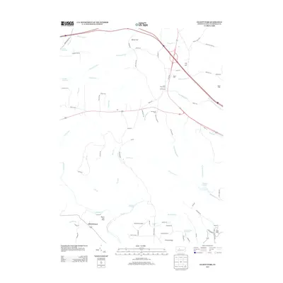
2013 Map of Elliott Park
USGS Topo · Published 2013About this map
Greenville serves as a primary point of reference in this 2013 survey of Bloom Township, where the landscape is defined by the headwaters of the Susquehanna River basin. The geography is dominated by a complex network of runs and creeks, including the central Montgomery Cr and Bear Run. Significant water management features like the Curwensville Reservoir and Clearfield Reservoir anchor the eastern and southern edges of the map.
Find a feature on this map
81 named features on this map. Tap any name to fly to it.
Don’t see what you’re looking for? This feature index may not catch every label — zoom into the map to look around manually.
Map Details
Editions of this 2013 Elliott Park Map
This is the sole edition of this map. No revisions or reprints were ever made.
Other maps of this area

1903 · Curwensville
USGS Topo · 1:62,500

1903 · Houtzdale
USGS Topo · 1:62,500

1905 · Houtzdale
USGS Topo · 1:62,500

1929 · Clearfield
USGS Topo · 1:48,000

1929 · Penfield
USGS Topo · 1:62,500

1932 · Clearfield
USGS Topo · 1:62,500

1932 · Penfield
USGS Topo · 1:62,500

1939 · Curwensville
USGS Topo · 1:62,500

1942 · Curwensville
USGS Topo · 1:62,500

1943 · Punxsutawney
USGS Topo · 1:125,000
Featured Places
- Bloom Township, PA
- Lawrence Township, PA
- Pine Township, PA
- Union Township, PA
- Greenville, Bloom Township