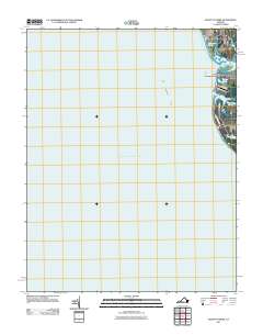
2011 Map of Elliotts Creek
USGS Topo · Published 2011About this map
Old Plantation Creek and the narrow coastal corridor of Northampton County define this maritime landscape on the eastern edge of the Chesapeake Bay. The map reveals a cluster of shoreline communities and managed water bodies just south of the Cape Charles Harbor Channel. Small residential developments like Virginias Chesapeake Shores, Arlington, and Bay Ridge are tucked between the bay and a series of ponds including Allegood Pond, Costin Pond, and Dixons Pond. The hydrography here is particularly intricate, where Elliotts Creek and Pond Drain navigate the low-lying terrain. This coastal survey documents the interface between the Old Plantation Flats and the established rural roads like Lake Dr and Elliotts Creek Ln that serve these waterfront enclaves.
Find a feature on this map
14 named features on this map. Tap any name to fly to it.
Don’t see what you’re looking for? This feature index may not catch every label — zoom into the map to look around manually.
Map Details
Editions of this 2011 Elliotts Creek Map
This is the sole edition of this map. No revisions or reprints were ever made.
Other maps of this area

1942 · Cheriton
USGS Topo · 1:24,000

1943 · Elliots Creek
USGS Topo · 1:25,000

1943 · Townsend
USGS Topo · 1:24,000

1943 · Richmond
USGS Topo · 1:250,000

1946 · Eastville
USGS Topo · 1:250,000

1948 · Cape Charles
USGS Topo · 1:24,000

1949 · Richmond
USGS Topo · 1:250,000
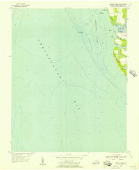
1955 · Elliotts Creek
USGS Topo · 1:24,000
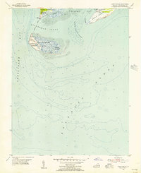
1955 · Cape Charles
USGS Topo · 1:24,000
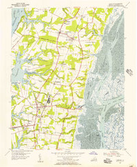
1955 · Cheriton
USGS Topo · 1:24,000