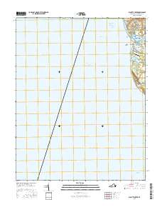
2016 Map of Elliotts Creek
USGS Topo · Published 2016About this map
Cape Charles and the small settlement of Arlington occupy the narrow landmass between the Chesapeake Bay and the Atlantic's inland waters. This coastal area is defined by its deep maritime history and navigational infrastructure, featuring the Intracoastal Waterway and complex dredging paths like the Cape Charles Harbor Channel and Cherrystone Channel. The geography is a network of brackish inlets and small freshwater bodies, including Allegood Pond, Purnell Pond, and Adkins Pond, which separate the residential clusters from the shoreline.
Find a feature on this map
21 named features on this map. Tap any name to fly to it.
Don’t see what you’re looking for? This feature index may not catch every label — zoom into the map to look around manually.
Map Details
Editions of this 2016 Elliotts Creek Map
This is the sole edition of this map. No revisions or reprints were ever made.
Other maps of this area

1942 · Cheriton
USGS Topo · 1:24,000

1943 · Elliots Creek
USGS Topo · 1:25,000

1943 · Townsend
USGS Topo · 1:24,000

1943 · Richmond
USGS Topo · 1:250,000

1946 · Eastville
USGS Topo · 1:250,000

1948 · Cape Charles
USGS Topo · 1:24,000

1949 · Richmond
USGS Topo · 1:250,000
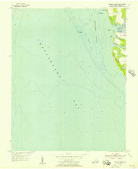
1955 · Elliotts Creek
USGS Topo · 1:24,000
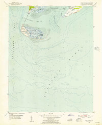
1955 · Cape Charles
USGS Topo · 1:24,000
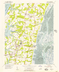
1955 · Cheriton
USGS Topo · 1:24,000