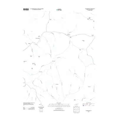
2013 Map of Ellisburg
USGS Topo · Published 2013About this map
Peytons Store and Ellisburg anchor this rural landscape in western Casey County, where the terrain is defined by a dense network of ridges and knobs. The topography is shaped by the Big S Fork and its numerous tributaries, such as Murphy Branch and Peyton Branch, which carve through the high ground. Local transit and settlement patterns follow these watercourses and the natural breaks in the hills, evidenced by named passages like Dogwood Gap, Turkeyfoot Gap, and Coulter Gap.
Find a feature on this map
79 named features on this map. Tap any name to fly to it.
Don’t see what you’re looking for? This feature index may not catch every label — zoom into the map to look around manually.
Map Details
Editions of this 2013 Ellisburg Map
This is the sole edition of this map. No revisions or reprints were ever made.
Other maps of this area
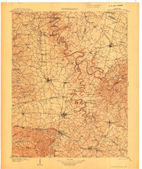
1905 · Harrodsburg
USGS Topo · 1:125,000
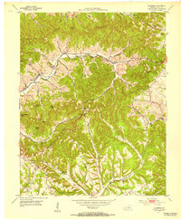
1952 · Ellisburg
USGS Topo · 1:24,000
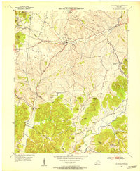
1952 · Hustonville
USGS Topo · 1:24,000
1952 · Clementsville
USGS Topo · 1:24,000
1952 · Liberty
USGS Topo · 1:24,000
1952 · Yosemite
USGS Topo · 1:24,000
1952 · Junction City
USGS Topo · 1:24,000
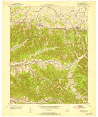
1952 · Parksville
USGS Topo · 1:24,000
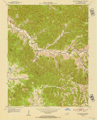
1953 · Bradfordsville NE
USGS Topo · 1:24,000
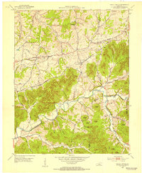
1953 · Gravel Switch
USGS Topo · 1:24,000