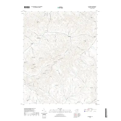
2019 Map of Ellisburg
USGS Topo · Published 2019About this map
Peytons Store and Ellisburg anchor this rural landscape in Casey County, where the terrain is defined by a dense network of ridges and hollows carved by the Big South Fork and its tributaries. The map reveals a high concentration of family-named landmarks and small burial grounds, such as the Cox Graveyard and Tabscott Cem, which provide essential clues for genealogical research in this part of Kentucky.
Find a feature on this map
93 named features on this map. Tap any name to fly to it.
Don’t see what you’re looking for? This feature index may not catch every label — zoom into the map to look around manually.
Map Details
Editions of this 2019 Ellisburg Map
This is the sole edition of this map. No revisions or reprints were ever made.
Other maps of this area

1905 · Harrodsburg
USGS Topo · 1:125,000

1952 · Ellisburg
USGS Topo · 1:24,000

1952 · Hustonville
USGS Topo · 1:24,000

1952 · Clementsville
USGS Topo · 1:24,000

1952 · Liberty
USGS Topo · 1:24,000

1952 · Yosemite
USGS Topo · 1:24,000

1952 · Junction City
USGS Topo · 1:24,000

1952 · Parksville
USGS Topo · 1:24,000

1953 · Bradfordsville NE
USGS Topo · 1:24,000

1953 · Gravel Switch
USGS Topo · 1:24,000