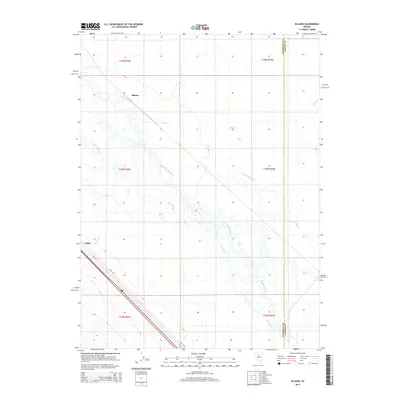
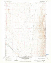
2015 Map of Ellison
USGS Topo · Published 2015About this map
The Humboldt River meanders across this northern Nevada landscape, creating a complex network of waterways including McIntyre Slough and Herrin Slough. In this region where the Humboldt and Lander County line meets, the river serves as a primary geographical anchor. The small settlement of Valmy is situated in the southwestern portion of the sheet, connected by the corridor of the Mote Hwy.
Find a feature on this map
17 named features on this map. Tap any name to fly to it.
Don’t see what you’re looking for? This feature index may not catch every label — zoom into the map to look around manually.
Map Details
Editions of this 2015 Ellison Map
This is the sole edition of this map. No revisions or reprints were ever made.
Other maps of this area
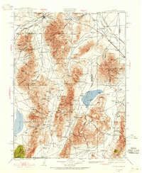
1932 · Sonoma Range
USGS Topo · 1:250,000
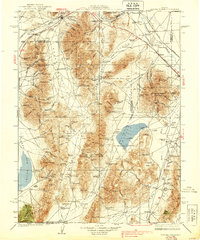
1939 · Sonoma Range
USGS Topo · 1:250,000
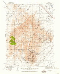
1940 · Antler Peak
USGS Topo · 1:62,500
1943 · Antler Peak
USGS Topo · 1:62,500

1955 · Winnemucca
USGS Topo · 1:250,000
1957 · Battle Mountain
USGS Topo · 1:62,500

1958 · Winnemucca
USGS Topo · 1:250,000
1962 · Winnemucca
USGS Topo · 1:250,000
1965 · Knight
USGS Topo · 1:24,000
1965 · Russells
USGS Topo · 1:24,000