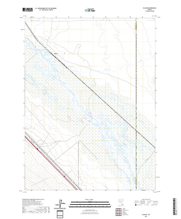
2021 Map of Ellison
USGS Topo · Published 2021About this map
The confluence of the Humboldt River and the Reese River dominates this Humboldt County landscape, creating a complex network of wetlands and seasonal watercourses. The presence of McIntyre Slough and Herrin Slough indicates a highly braided river system where water levels fluctuate significantly across the valley floor. Near the northern boundary, the settlement of Ellison sits positioned along the drainage of Sheep Cr, illustrating the historical pattern of placing small outposts at the intersection of dependable water sources and the broader transit corridors of the Great Basin. Modern transportation is represented by Frontage Rd and Mote Rd, which trace the path of earlier wagon routes and railroad alignments through this arid basin, while Trout Cr descends from higher ground to meet the valley's primary aquatic arteries.
Find a feature on this map
17 named features on this map. Tap any name to fly to it.
Don’t see what you’re looking for? This feature index may not catch every label — zoom into the map to look around manually.
Map Details
Editions of this 2021 Ellison Map
This is the sole edition of this map. No revisions or reprints were ever made.
Other maps of this area

1932 · Sonoma Range
USGS Topo · 1:250,000

1939 · Sonoma Range
USGS Topo · 1:250,000

1940 · Antler Peak
USGS Topo · 1:62,500

1943 · Antler Peak
USGS Topo · 1:62,500

1955 · Winnemucca
USGS Topo · 1:250,000

1957 · Battle Mountain
USGS Topo · 1:62,500

1958 · Winnemucca
USGS Topo · 1:250,000

1962 · Winnemucca
USGS Topo · 1:250,000

1965 · Knight
USGS Topo · 1:24,000

1965 · Russells
USGS Topo · 1:24,000