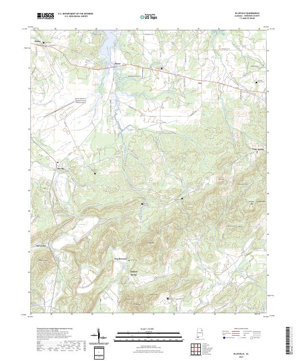
2024 Map of Ellisville
USGS Topo · Published 2024This historical map portrays the area of Ellisville in 2024, primarily covering Cherokee County. Featuring a scale of 1:24000, this map provides a highly detailed snapshot of the terrain, roads, buildings, counties, and historical landmarks in the Ellisville region at the time. Published in 2024, it is the sole known edition of this map.
Map Details
Editions of this 2024 Ellisville Map
This is the sole edition of this map. No revisions or reprints were ever made.
Historical Maps of Cherokee County Through Time
10 maps found
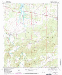
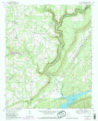
1967 Ellisville
Cherokee County, AL
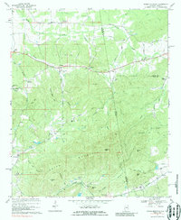
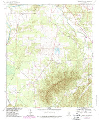
1967 Indian Mountain
Cherokee County, AL
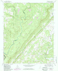
1967 Jamestown
Cherokee County, AL
1967 Little River
Cherokee County, AL
1967 Weisner Mountain
Cherokee County, AL
2024 Ellisville
Cherokee County, AL
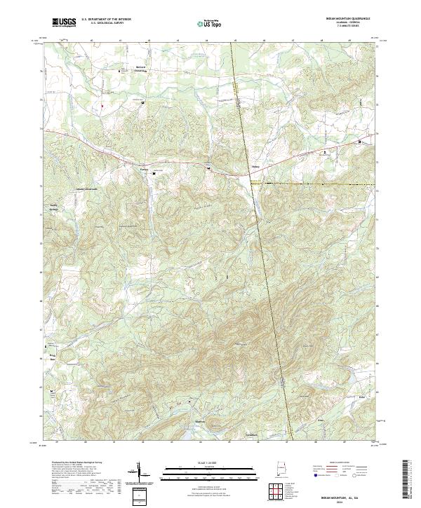
2024 Indian Mountain
Cherokee County, AL
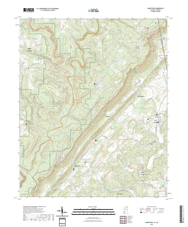
2024 Jamestown
Cherokee County, AL
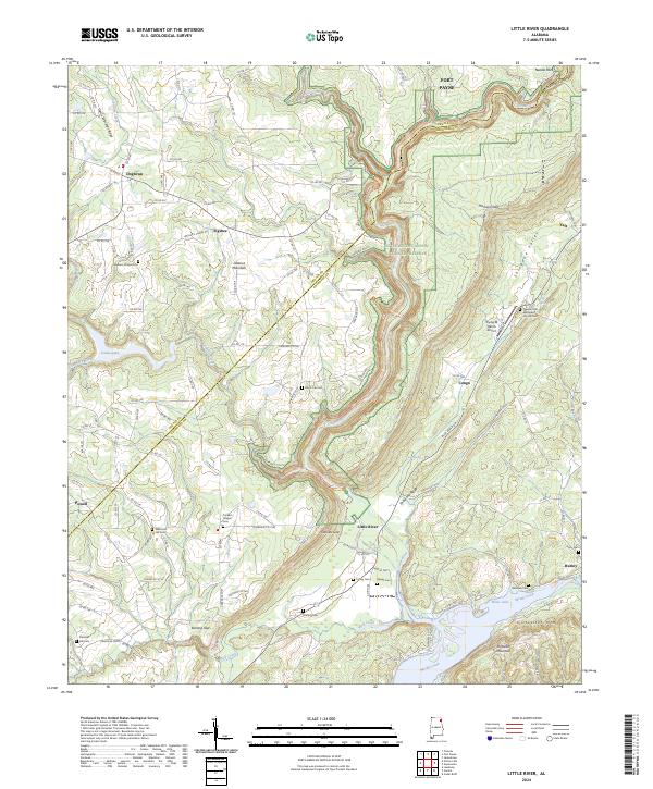
2024 Little River
Cherokee County, AL
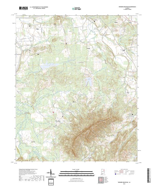
2024 Weisner Mountain
Cherokee County, AL