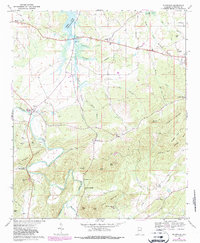
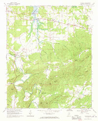
1967 Map of Ellisville
USGS Topo · Published 1987About this map
The Terrapin Creek valley dominates this portion of Cherokee County, carving a wide path through a landscape defined by prominent ridges and rural settlements. In the northern reaches, the controlled waters of Weiss Lake have altered the drainage patterns of Cowan Creek and Horsepen Branch. The topography is markedly divided between the flatlands of the Terrapin Creek Valley and the steep elevations of Frog Mountain and Coloma Mountain.
Find a feature on this map
55 named features on this map. Tap any name to fly to it.
Don’t see what you’re looking for? This feature index may not catch every label — zoom into the map to look around manually.
Map Details
Editions of this 1967 Ellisville Map
2 editions found
Other maps of this area

1886 · Rome
USGS Topo · 1:125,000

1889 · Tallapoosa
USGS Topo · 1:125,000

1892 · Tallapoosa
USGS Topo · 1:125,000

1893 · Fort Payne
USGS Topo · 1:125,000

1897 · Tallapoosa
USGS Topo · 1:125,000

1898 · Rome
USGS Topo · 1:125,000

1898 · Fort Payne
USGS Topo · 1:125,000

1899 · Rome
USGS Topo · 1:125,000

1900 · Fort Payne
USGS Topo · 1:125,000

1900 · Anniston
USGS Topo · 1:125,000