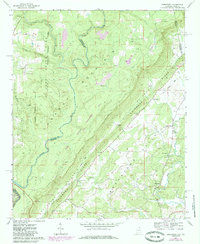
1967 Map of Jamestown
USGS Topo · Published 1985About this map
Lookout Mountain and the deep incision of the Little River Canyon dominate this landscape on the Alabama-Georgia border. Settlement follows the lower elevations of the Shinbone Ridge valley, where small communities like Jamestown and Chesterfield are linked by the Old Railroad Grade. This transport corridor reflects the area's agricultural and resource-based economy, further evidenced by a Mine Tipple and various pits near the West Fork.
Find a feature on this map
36 named features on this map. Tap any name to fly to it.
Don’t see what you’re looking for? This feature index may not catch every label — zoom into the map to look around manually.
Map Details
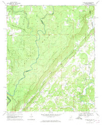
Editions of this 1967 Jamestown Map
2 editions found
Other maps of this area

1886 · Ringgold
USGS Topo · 1:125,000

1886 · Rome
USGS Topo · 1:125,000

1886 · Stevenson
USGS Topo · 1:125,000

1892 · Ringgold
USGS Topo · 1:125,000

1892 · Stevenson
USGS Topo · 1:125,000

1893 · Fort Payne
USGS Topo · 1:125,000

1895 · Stevenson
USGS Topo · 1:125,000

1898 · Rome
USGS Topo · 1:125,000

1898 · Fort Payne
USGS Topo · 1:125,000

1899 · Rome
USGS Topo · 1:125,000