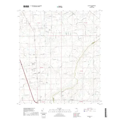
2018 Map of Ellisville
USGS Topo · Published 2018About this map
Olustee Creek and Swift Creek wind through this corner of North Florida, marking the low-lying terrain along the border of Columbia and Union Counties. The landscape is a network of rural settlements and religious foundations, including the Bethlehem Lutheran Church and the Mount Tabor African Methodist Episcopal Church. These sites, along with a high density of family and community burial grounds such as Farnell Cemetery and Hawthorne Cemetery, reflect a deeply rooted local history. The map shows the transition from the small community center of Ellisville to the rural pockets of Myrtis, Mason, and Providence. Aviation interest is centered at the Lake City Airpark, while the surrounding grid of local roads like Leon Sauls Road and Jim Witt Road provides a clear view of the modern land use and historical property divisions in this timber and agricultural region.
Find a feature on this map
124 named features on this map. Tap any name to fly to it.
Don’t see what you’re looking for? This feature index may not catch every label — zoom into the map to look around manually.
Map Details
Editions of this 2018 Ellisville Map
This is the sole edition of this map. No revisions or reprints were ever made.
Other maps of this area

1954 · Gainesville
USGS Topo · 1:250,000

1954 · Valdosta
USGS Topo · 1:250,000

1958 · Valdosta
USGS Topo · 1:250,000

1958 · Gainesville
USGS Topo · 1:250,000

1959 · Valdosta
USGS Topo · 1:250,000

1959 · Gainesville
USGS Topo · 1:250,000

1962 · Lake City East
USGS Topo · 1:24,000

1962 · Mikesville
USGS Topo · 1:24,000

1963 · Olustee
USGS Topo · 1:24,000

1963 · Ellisville
USGS Topo · 1:24,000