2024 Map of Ellisville
USGS Topo · Published 2024About this map
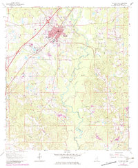
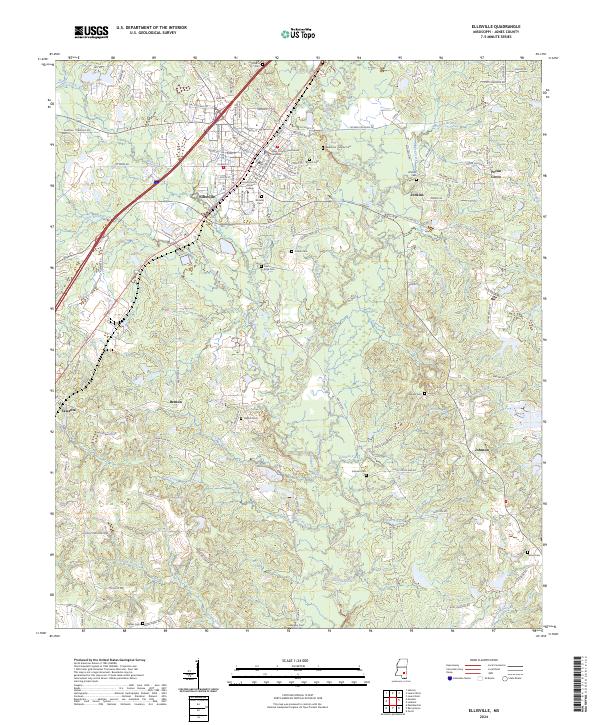
The Jones County Courthouse Ellisville serves as the focal point for this region, situated within the organized street grid of Ellisville. This area is characterized by a high concentration of educational and civic institutions, including the expansive campus of Jones County Junior College. The surrounding landscape is defined by the drainage basins of Tallahala Creek and Tallahoma Creek, which wind through the terrain alongside smaller waterways like Little Rocky Creek and Bear Creek.
Find a feature on this map
131 named features on this map. Tap any name to fly to it.
Don’t see what you’re looking for? This feature index may not catch every label — zoom into the map to look around manually.
Map Details
Editions of this 2024 Ellisville Map
This is the sole edition of this map. No revisions or reprints were ever made.