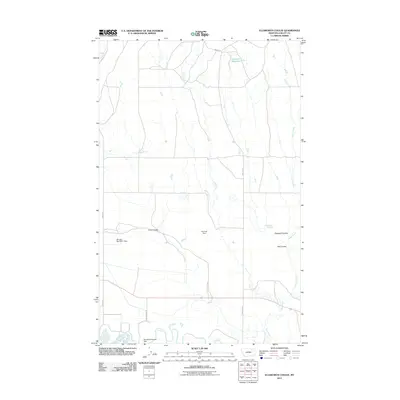
2011 Map of Ellsworth Coulee
USGS Topo · Published 2011About this map
The Milk River corridor defines the southern edge of this Valley County landscape, where the Vandalia Diversion Dam serves as a significant hydraulic anchor for regional irrigation. This water management network extends north through the prairie, marked by various small-scale structures such as Kielman Dam and Morgan Number 1 Dam. The terrain is characterized by a series of drainage features, notably Ellsworth Coulee, Lund Coulee, and Hall Coulee, which channel seasonal runoff toward the river. Localized water sources like Whitbread Springs and the uniquely named Confusion Reservoir provide essential points of interest in an otherwise sparse drainage system. The transportation network is primarily composed of section-line roads, including Vandalia Rd and Britch Rd, which connect the scattered agricultural improvements and natural landmarks of the northern Montana plains.
Find a feature on this map
18 named features on this map. Tap any name to fly to it.
Don’t see what you’re looking for? This feature index may not catch every label — zoom into the map to look around manually.
Map Details
Editions of this 2011 Ellsworth Coulee Map
This is the sole edition of this map. No revisions or reprints were ever made.
Other maps of this area
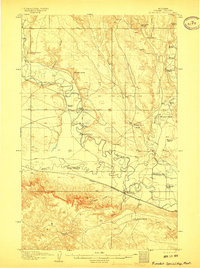
1906 · Hinsdale Special Map
USGS Topo · 1:62,500
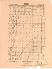
1919 · Boundary
USGS Topo · 1:125,000
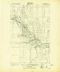
1943 · Glasgow
USGS Topo · 1:125,000

1954 · Glasgow
USGS Topo · 1:250,000

1957 · Glasgow
USGS Topo · 1:250,000

1958 · Glasgow
USGS Topo · 1:250,000
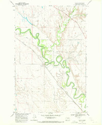
1969 · Tampico
USGS Topo · 1:24,000
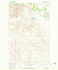
1969 · Vandalia
USGS Topo · 1:24,000
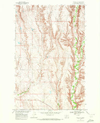
1969 · Tampico NE
USGS Topo · 1:24,000
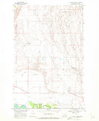
1969 · Ellsworth Coulee
USGS Topo · 1:24,000