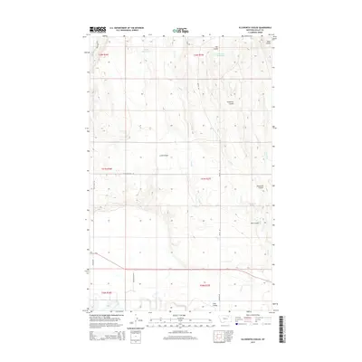
2014 Map of Ellsworth Coulee
USGS Topo · Published 2014About this map
The Milk River meanders across the southern reaches of this landscape in Valley County, Montana, just south of the parallel corridor of Us-2. This northern plains terrain is defined by a series of deep drainage channels, including the eponymous Ellsworth Coulee and Lund Coulee, which cut through the dry benchland. Water management in this semi-arid region is evident through numerous small impoundments such as Rock Creek Reservoir, Confusion Reservoir, and VR-80 Reservoir, alongside the natural flow of Lime Cr and Alkali Cr. Local infrastructure is anchored by rural routes like Vandalia Dam Rd and Britch Rd, which provide access to high-ground landmarks like Whitbread Springs. The map illustrates the characteristic grid of the Public Land Survey System as it overlays the irregular geography of coulees and river bottoms in this part of Big Sky Country.
Find a feature on this map
28 named features on this map. Tap any name to fly to it.
Don’t see what you’re looking for? This feature index may not catch every label — zoom into the map to look around manually.
Map Details
Editions of this 2014 Ellsworth Coulee Map
This is the sole edition of this map. No revisions or reprints were ever made.
Other maps of this area
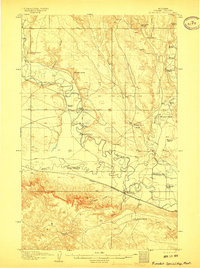
1906 · Hinsdale Special Map
USGS Topo · 1:62,500
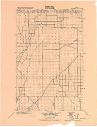
1919 · Boundary
USGS Topo · 1:125,000
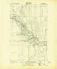
1943 · Glasgow
USGS Topo · 1:125,000

1954 · Glasgow
USGS Topo · 1:250,000

1957 · Glasgow
USGS Topo · 1:250,000

1958 · Glasgow
USGS Topo · 1:250,000
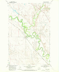
1969 · Tampico
USGS Topo · 1:24,000
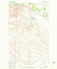
1969 · Vandalia
USGS Topo · 1:24,000
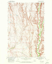
1969 · Tampico NE
USGS Topo · 1:24,000
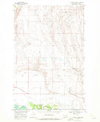
1969 · Ellsworth Coulee
USGS Topo · 1:24,000