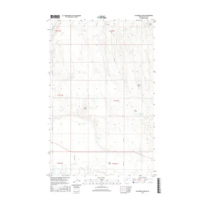
2017 Map of Ellsworth Coulee
USGS Topo · Published 2017About this map
The Milk River flows along the southern edge of this Valley County landscape, a vital water source in an area defined by its complex drainage systems. The terrain is deeply incised by numerous seasonal watercourses, most notably Ellsworth Coulee, which lends its name to this quadrangle. These coulees, including Lund Coulee and Hall Coulee, create a distinct topographical pattern across the plains, channeling runoff toward larger tributaries like Bear Cr and Alkali Cr.
Find a feature on this map
27 named features on this map. Tap any name to fly to it.
Don’t see what you’re looking for? This feature index may not catch every label — zoom into the map to look around manually.
Map Details
Editions of this 2017 Ellsworth Coulee Map
This is the sole edition of this map. No revisions or reprints were ever made.
Other maps of this area
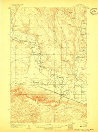
1906 · Hinsdale Special Map
USGS Topo · 1:62,500
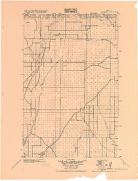
1919 · Boundary
USGS Topo · 1:125,000
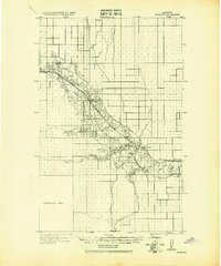
1943 · Glasgow
USGS Topo · 1:125,000

1954 · Glasgow
USGS Topo · 1:250,000

1957 · Glasgow
USGS Topo · 1:250,000

1958 · Glasgow
USGS Topo · 1:250,000
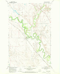
1969 · Tampico
USGS Topo · 1:24,000
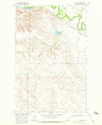
1969 · Vandalia
USGS Topo · 1:24,000
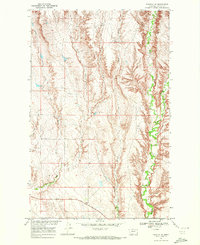
1969 · Tampico NE
USGS Topo · 1:24,000
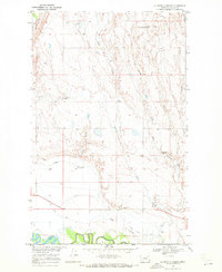
1969 · Ellsworth Coulee
USGS Topo · 1:24,000