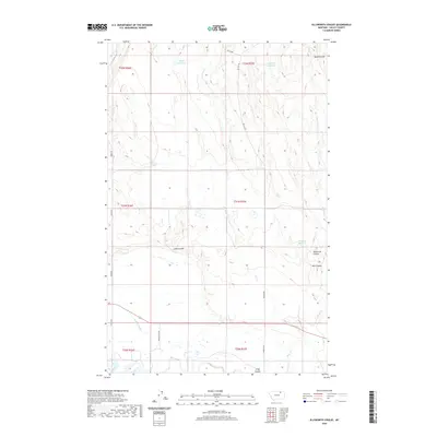
2020 Map of Ellsworth Coulee
USGS Topo · Published 2020About this map
The Milk River flows across the southern portion of this Valley County landscape, defining the local hydrology alongside the Rock Cr Canal. This area is characterized by a network of drainage ravines and water management features, including the eponymous Ellsworth Coulee and nearby Lund Coulee. The presence of VR-80 Reservoir and Confusion Reservoir in the northern sections indicates a landscape adapted for water storage and irrigation. These reservoirs, fed by intermittent streams like Lime Cr, support the agricultural and ranching operations that depend on the local water supply. Historic land divisions are visible through the grid of rural roads such as Vandalia Dam Rd and Britsch Rd, which connect the scattered water sources and topographical landmarks like Whitbread Springs.
Find a feature on this map
25 named features on this map. Tap any name to fly to it.
Don’t see what you’re looking for? This feature index may not catch every label — zoom into the map to look around manually.
Map Details
Editions of this 2020 Ellsworth Coulee Map
This is the sole edition of this map. No revisions or reprints were ever made.
Other maps of this area
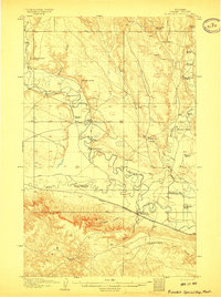
1906 · Hinsdale Special Map
USGS Topo · 1:62,500
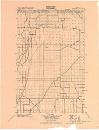
1919 · Boundary
USGS Topo · 1:125,000
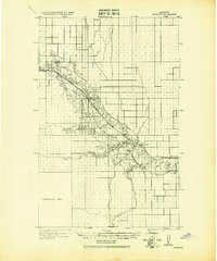
1943 · Glasgow
USGS Topo · 1:125,000

1954 · Glasgow
USGS Topo · 1:250,000

1957 · Glasgow
USGS Topo · 1:250,000

1958 · Glasgow
USGS Topo · 1:250,000
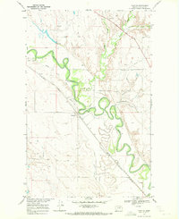
1969 · Tampico
USGS Topo · 1:24,000
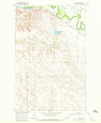
1969 · Vandalia
USGS Topo · 1:24,000
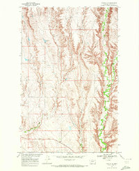
1969 · Tampico NE
USGS Topo · 1:24,000
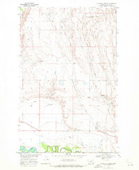
1969 · Ellsworth Coulee
USGS Topo · 1:24,000