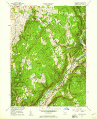
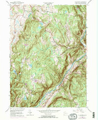
1956 Map of Ellsworth
USGS Topo · Published 1958About this map
Sharon and the surrounding Litchfield County uplands are defined by a network of small settlements and mountain ridges in the mid-1950s. The Housatonic River serves as a primary geographic corridor, flanked by the New York New Haven and Hartford railroad. This river valley supports numerous protected areas, including Kent Falls State Park and Housatonic Meadows State Park.
Find a feature on this map
52 named features on this map. Tap any name to fly to it.
Don’t see what you’re looking for? This feature index may not catch every label — zoom into the map to look around manually.
Map Details
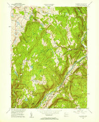
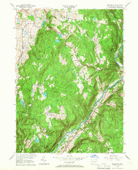
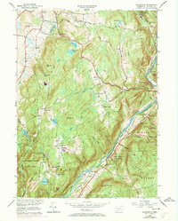
Editions of this 1956 Ellsworth Map
5 editions found
Other maps of this area

1892 · Cornwall
USGS Topo · 1:62,500

1892 · New Milford
USGS Topo · 1:62,500

1893 · New Milford
USGS Topo · 1:62,500

1893 · Cornwall
USGS Topo · 1:62,500

1893 · Clove
USGS Topo · 1:62,500

1894 · Clove
USGS Topo · 1:62,500

1898 · Clove
USGS Topo · 1:62,500

1899 · Millbrook
USGS Topo · 1:62,500

1901 · Clove
USGS Topo · 1:62,500

1902 · Millbrook
USGS Topo · 1:62,500