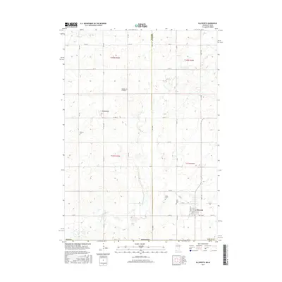
2016 Map of Ellsworth
USGS Topo · Published 2016About this map
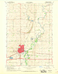
Coteau des Prairies, a high glacial plateau, defines the upland terrain of this borderland between Minnesota and Iowa. In the southeastern corner, the village of Ellsworth serves as a local hub near the Nobles County line, while the small settlement of Kanaranzi sits further northwest along the banks of Kanaranzi Creek. The landscape is etched by a grid of agricultural roads, including County Highway 16 and County Highway 3, which connect scattered rural homesteads and several community burial grounds. Genealogists can find locations for Ashwood Cemetery, Grand Prairie Cemetery, and Saint Mary's Cemetery. Waterways like Norwegian Creek and Elk Creek provide drainage through the rolling prairies, illustrating the drainage patterns essential to the region's farming heritage.
Find a feature on this map
47 named features on this map. Tap any name to fly to it.
Don’t see what you’re looking for? This feature index may not catch every label — zoom into the map to look around manually.
Map Details
Editions of this 2016 Ellsworth Map
This is the sole edition of this map. No revisions or reprints were ever made.
Other maps of this area

1954 · Fairmont
USGS Topo · 1:250,000
1955 · Sioux Falls
USGS Topo · 1:250,000
1958 · Sioux Falls
USGS Topo · 1:250,000

1958 · Fairmont
USGS Topo · 1:250,000
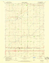
1967 · Magnolia
USGS Topo · 1:24,000
1967 · Adrian SW
USGS Topo · 1:24,000
1967 · Adrian
USGS Topo · 1:24,000
1967 · Ellsworth
USGS Topo · 1:24,000
1967 · Ash Creek
USGS Topo · 1:24,000
1967 · Luverne
USGS Topo · 1:24,000