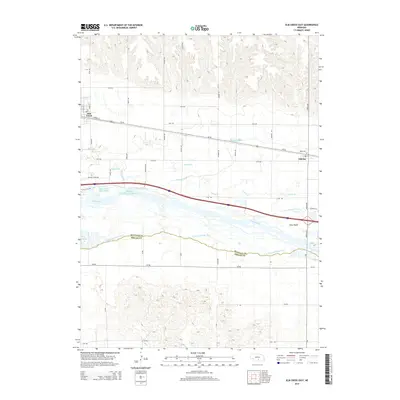
2014 Map of Elm Creek East
USGS Topo · Published 2014About this map
Elm Creek and the village of Odessa anchor this study of the Platte River valley in Buffalo County. The landscape is defined by the complex braided hydrology of the Platte River, where the N Channel and S Channel diverge around landforms like Long Island. The engineering of the region is evident in the Kearney Canal, which parallels the Union Pacific railroad corridor, and the Kearney Diversion Dam Reservoir, which manages local water resources alongside Blue Hole East Lake.
Find a feature on this map
44 named features on this map. Tap any name to fly to it.
Don’t see what you’re looking for? This feature index may not catch every label — zoom into the map to look around manually.
Map Details
Editions of this 2014 Elm Creek East Map
This is the sole edition of this map. No revisions or reprints were ever made.
Other maps of this area

1894 · Kearney
USGS Topo · 1:62,500

1896 · Kearney
USGS Topo · 1:125,000

1955 · Grand Island
USGS Topo · 1:250,000

1957 · Grand Island
USGS Topo · 1:250,000

1958 · Grand Island
USGS Topo · 1:250,000

1961 · Elm Creek West
USGS Topo · 1:24,000

1961 · Amherst
USGS Topo · 1:24,000

1961 · Miller SW
USGS Topo · 1:24,000

1962 · Riverdale
USGS Topo · 1:24,000

1962 · Elm Creek East
USGS Topo · 1:24,000