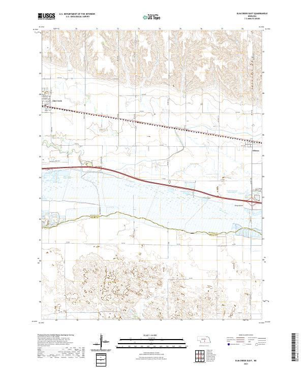
2021 Map of Elm Creek East
USGS Topo · Published 2021About this map
The Platte River corridor defines this landscape south of Elm Creek, where the river's braided channels and the large Long Island stretch across the valley. The map documents a highly managed water system, including the Kearney Canal and the North Channel Platte River, essential for the agricultural economy of the Nebraska plains. These watercourses are flanked by a rigid grid of rural roads, such as Custer Rd and Odessa Rd, which delineate the sections of t9n r18w and t9n r17w.
Find a feature on this map
36 named features on this map. Tap any name to fly to it.
Don’t see what you’re looking for? This feature index may not catch every label — zoom into the map to look around manually.
Map Details
Editions of this 2021 Elm Creek East Map
This is the sole edition of this map. No revisions or reprints were ever made.
Other maps of this area

1894 · Kearney
USGS Topo · 1:62,500

1896 · Kearney
USGS Topo · 1:125,000

1955 · Grand Island
USGS Topo · 1:250,000

1957 · Grand Island
USGS Topo · 1:250,000

1958 · Grand Island
USGS Topo · 1:250,000

1961 · Elm Creek West
USGS Topo · 1:24,000

1961 · Amherst
USGS Topo · 1:24,000

1961 · Miller SW
USGS Topo · 1:24,000

1962 · Riverdale
USGS Topo · 1:24,000

1962 · Elm Creek East
USGS Topo · 1:24,000