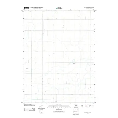
2011 Map of Elm Creek SE
USGS Topo · Published 2011About this map
North Dry Creek meanders through this portion of Phelps County, highlighting a landscape defined by agricultural organization and water management. The southern edge of the quadrangle is anchored by the Phelps County Canal, a significant irrigation feature essential to the region's farming economy. The map reveals a strict grid of section roads, including R Rd and 739 Rd, which dictate the placement of rural homesteads and infrastructure. For those researching local heritage, the McGill Cemetery stands as a focal point for genealogical study in this prairie environment. Transportation is represented by both the established road network and the presence of Wells Airport near the southern boundary, showing the continued modernization of rural Nebraska in the early 21st century.
Find a feature on this map
18 named features on this map. Tap any name to fly to it.
Don’t see what you’re looking for? This feature index may not catch every label — zoom into the map to look around manually.
Map Details
Editions of this 2011 Elm Creek SE Map
This is the sole edition of this map. No revisions or reprints were ever made.
Other maps of this area

1894 · Kearney
USGS Topo · 1:62,500

1896 · Holdrege
USGS Topo · 1:125,000

1896 · Kearney
USGS Topo · 1:125,000

1955 · Grand Island
USGS Topo · 1:250,000

1957 · Grand Island
USGS Topo · 1:250,000

1958 · Grand Island
USGS Topo · 1:250,000

1961 · Elm Creek West
USGS Topo · 1:24,000

1962 · Elm Creek East
USGS Topo · 1:24,000
1962 · Alfalfa Center
USGS Topo · 1:24,000

1970 · Holdrege East
USGS Topo · 1:24,000