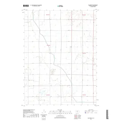
2017 Map of Elm Creek SW
USGS Topo · Published 2017About this map
Phelps County Canal dominates this agricultural landscape in Phelps County, cutting through the geometric grid of rural roads that define the region's land use. The presence of the Moses Hill Lagoon and the winding irrigation channels highlight the critical importance of water management for the local farming economy in this part of Nebraska. The map detail reflects a highly organized rural infrastructure, where nearly every section is accessible via a numbered road system, such as 744 RD and 737 RD. Olson Field stands as a localized landmark amidst the vast fields, while Highway 183 serves as the primary north-south transit corridor connecting the remote farmsteads to the wider region.
Find a feature on this map
18 named features on this map. Tap any name to fly to it.
Don’t see what you’re looking for? This feature index may not catch every label — zoom into the map to look around manually.
Map Details
Editions of this 2017 Elm Creek SW Map
This is the sole edition of this map. No revisions or reprints were ever made.
Other maps of this area
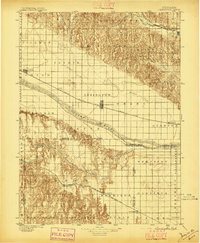
1896 · Lexington
USGS Topo · 1:125,000
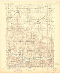
1896 · Holdrege
USGS Topo · 1:125,000
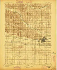
1896 · Kearney
USGS Topo · 1:125,000
1896 · Arapahoe
USGS Topo · 1:125,000
1898 · Arapahoe
USGS Topo · 1:125,000
1899 · Lexington
USGS Topo · 1:125,000
1955 · Grand Island
USGS Topo · 1:250,000
1957 · Grand Island
USGS Topo · 1:250,000
1958 · Grand Island
USGS Topo · 1:250,000
1961 · Elm Creek West
USGS Topo · 1:24,000