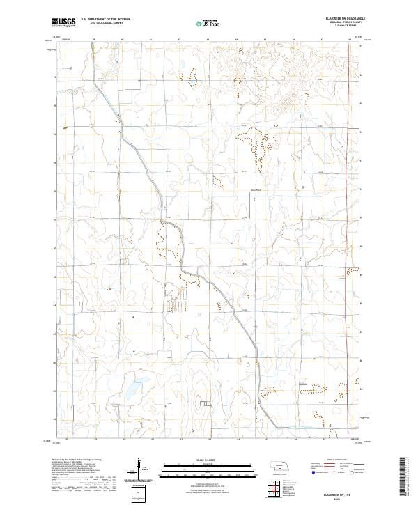
2021 Map of Elm Creek SW
USGS Topo · Published 2021About this map
The Phelps County Canal cuts a distinct path through this section of the Nebraska plains, reflecting the critical role of water management in the agricultural heartland. This 2021 survey of southern Phelps County illustrates a landscape strictly organized by the Public Land Survey System, where a grid of rural roads such as 744 RD and 741 RD defines the boundaries of sectioned farmland. The terrain is largely level, though the presence of Olson Field indicates the integration of localized aviation within this rural environment. Detailed township and range divisions, including t7n r19w and t8n r18w, provide a precise framework for understanding land ownership and the evolution of the local prairie economy.
Find a feature on this map
16 named features on this map. Tap any name to fly to it.
Don’t see what you’re looking for? This feature index may not catch every label — zoom into the map to look around manually.
Map Details
Editions of this 2021 Elm Creek SW Map
This is the sole edition of this map. No revisions or reprints were ever made.
Other maps of this area

1896 · Lexington
USGS Topo · 1:125,000

1896 · Holdrege
USGS Topo · 1:125,000

1896 · Kearney
USGS Topo · 1:125,000

1896 · Arapahoe
USGS Topo · 1:125,000

1898 · Arapahoe
USGS Topo · 1:125,000

1899 · Lexington
USGS Topo · 1:125,000

1955 · Grand Island
USGS Topo · 1:250,000

1957 · Grand Island
USGS Topo · 1:250,000

1958 · Grand Island
USGS Topo · 1:250,000

1961 · Elm Creek West
USGS Topo · 1:24,000