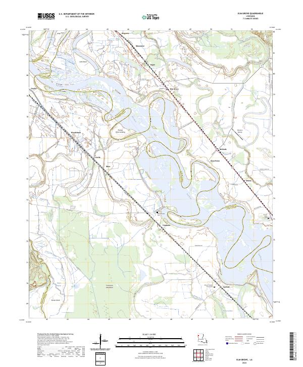
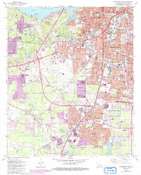
2024 Map of Elm Grove
USGS Topo · Published 2024About this map
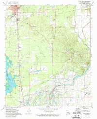
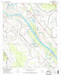
Red River oxbows and alluvial bottomlands define this portion of the Red River Valley, where the borders of Caddo and Bossier parishes wind alongside shifting watercourses. The landscape is a complex network of active and former channels, including Old River Lake, Flat River, and the Prairie River. Small settlements and historic landings are scattered throughout this fertile basin, linked by rural routes like White House Plantation Rd and Caspiana Levee Rd. Local history is preserved at several distinct burial sites, including Mechanicsville Cem near Caspiana and the Mount Pleasant Church Cem further south. The presence of the Pilkinton Airstrip near McDade and the expansive Cannisnia Lake Basin illustrates the region's mix of agricultural utility and wetland geography.
Find a feature on this map
63 named features on this map. Tap any name to fly to it.
Don’t see what you’re looking for? This feature index may not catch every label — zoom into the map to look around manually.
Map Details
Editions of this 2024 Elm Grove Map
This is the sole edition of this map. No revisions or reprints were ever made.
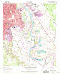
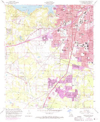
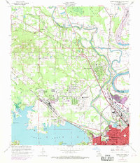
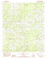
Historical Maps of Morameal Through Time
32 maps found

1932 Hosston NW
Caddo Parish, LA

1932 Hosston SE
Caddo Parish, LA

1932 Hosston SW
Caddo Parish, LA

1932 Shreveport NE
Caddo Parish, LA

1932 Shreveport SE
Caddo Parish, LA

1941 Forbing
Caddo Parish, LA

1955 North Shreveport
Caddo Parish, LA

1955 Shreveport East
Caddo Parish, LA

1955 Shreveport West
Caddo Parish, LA
1959 Shreveport East
Caddo Parish, LA
1959 Shreveport West
Caddo Parish, LA
1960 North Highlands
Caddo Parish, LA

1971 Vivian North
Caddo Parish, LA
1971 Vivian South
Caddo Parish, LA

1975 North Highlands
Caddo Parish, LA

1975 Shreveport East
Caddo Parish, LA

1975 Shreveport West
Caddo Parish, LA
1980 Elm Grove
Caddo Parish, LA
1980 North Highlands
Caddo Parish, LA
1980 Shreveport East
Caddo Parish, LA
1980 Shreveport West
Caddo Parish, LA

1982 Dixie
Caddo Parish, LA
1982 Spring Ridge
Caddo Parish, LA
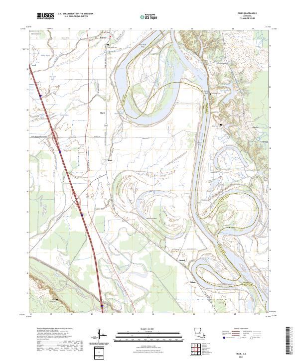
2024 Dixie
Caddo Parish, LA
2024 Elm Grove
Caddo Parish, LA
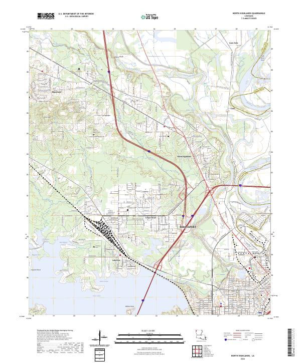
2024 North Highlands
Caddo Parish, LA
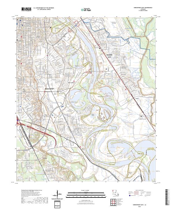
2024 Shreveport East
Caddo Parish, LA
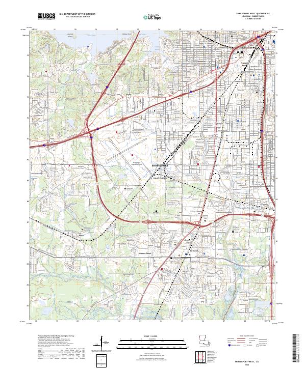
2024 Shreveport West
Caddo Parish, LA
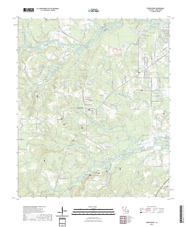
2024 Spring Ridge
Caddo Parish, LA
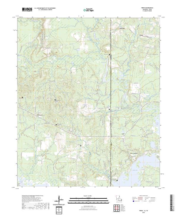
2024 Trees
Caddo Parish, LA
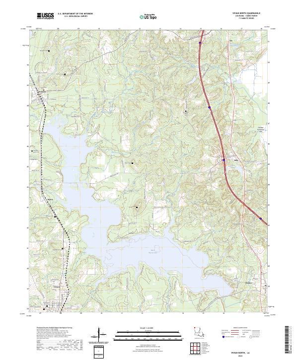
2024 Vivian North
Caddo Parish, LA
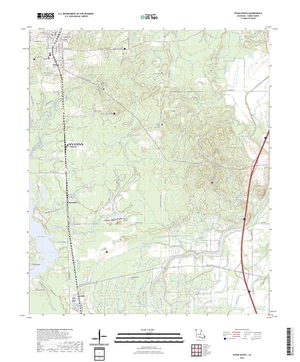
2024 Vivian South
Caddo Parish, LA