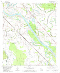
1980 Map of Elm Grove
USGS Topo · Published 1980About this map
The Red River winds through this 1980 survey, defining the boundaries between Bossier and Caddo Parishes. The landscape is a complex network of bayous and oxbow lakes, including Half Moon Lake, Caspiana Lake, and the expansive Cannisnia Lake to the south. Small settlements and rural community hubs like Elm Grove and Caspiana are connected by the Kansas City Southern and Missouri Pacific railroads, which parallel the river's course.
Find a feature on this map
54 named features on this map. Tap any name to fly to it.
Don’t see what you’re looking for? This feature index may not catch every label — zoom into the map to look around manually.
Map Details
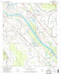
Editions of this 1980 Elm Grove Map
2 editions found
Other maps of this area

1938 · Arnsberg
USGS Topo · 1:31,680

1941 · East Point
USGS Topo · 1:31,680

1941 · Forbing
USGS Topo · 1:31,680

1941 · Bossier Point
USGS Topo · 1:31,680

1945 · Mansfield
USGS Topo · 1:62,500

1947 · Ringgold
USGS Topo · 1:62,500

1947 · Mansfield
USGS Topo · 1:62,500

1948 · Coushatta
USGS Topo · 1:62,500

1948 · Caspiana
USGS Topo · 1:62,500

1955 · Shreveport
USGS Topo · 1:250,000