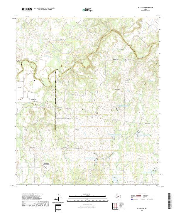
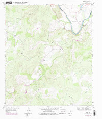
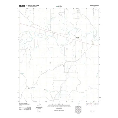
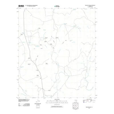
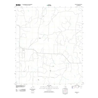
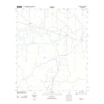
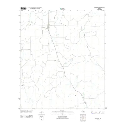
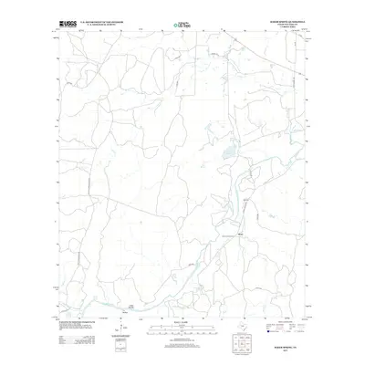
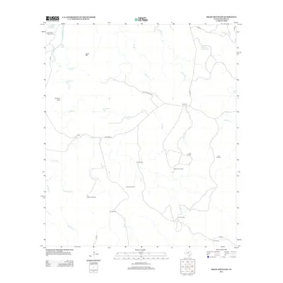
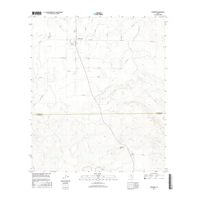
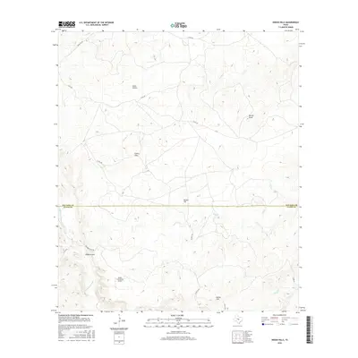
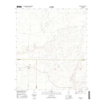
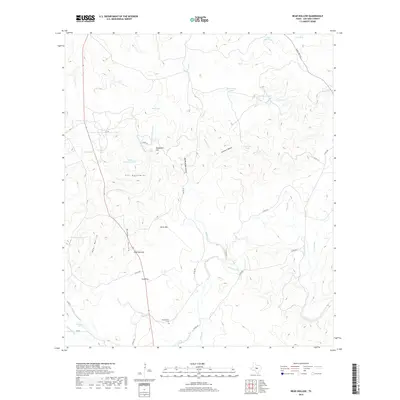
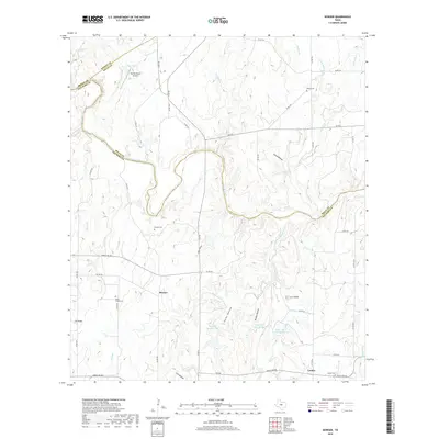
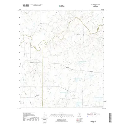
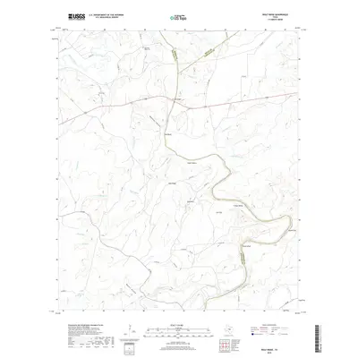
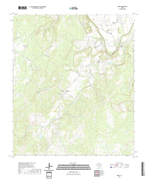
2022 Map of Elm Grove
USGS Topo · Published 2022About this map
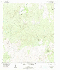
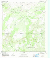
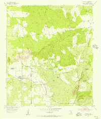
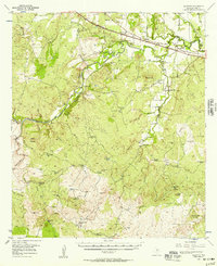
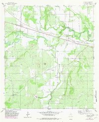
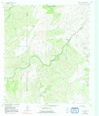
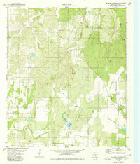
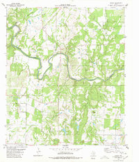
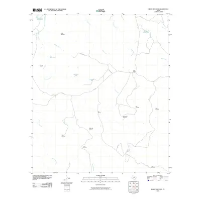
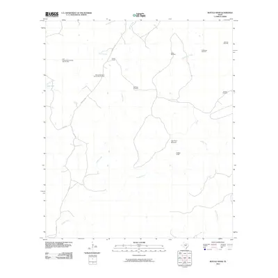
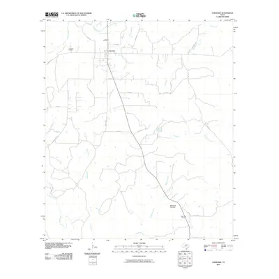
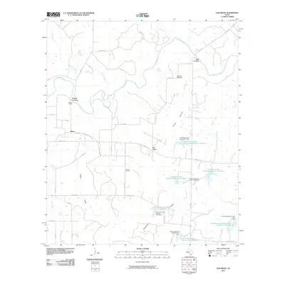
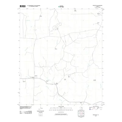
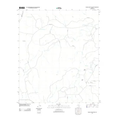
The Colorado River carves a winding path through this portion of Central Texas, marking the point where McCulloch, Brown, and San Saba counties converge. The landscape is defined by a network of seasonal drainages like Limekiln Cr and Antelope Cr that feed into several engineered water bodies, including the Southeast Laterals Watershed Reservoir Number 10. This modern survey reveals a ranching-focused environment where large landholdings are connected by a grid of county roads and historic corridors like Ranch Rd 765.
Find a feature on this map
49 named features on this map. Tap any name to fly to it.
Don’t see what you’re looking for? This feature index may not catch every label — zoom into the map to look around manually.
Map Details
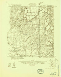
Editions of this 2022 Elm Grove Map
This is the sole edition of this map. No revisions or reprints were ever made.
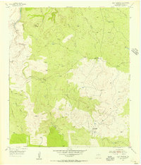
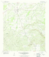
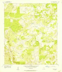
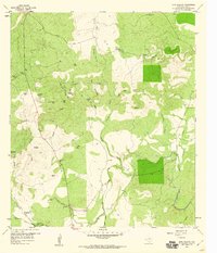
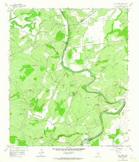
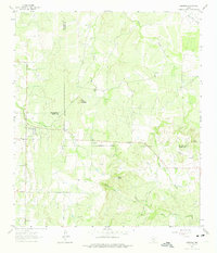
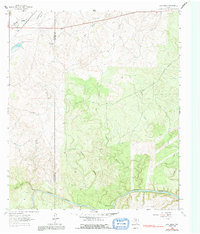
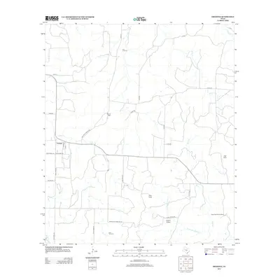
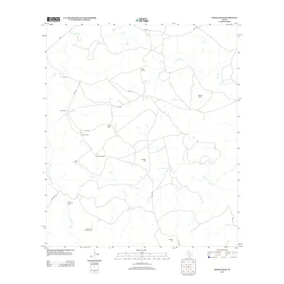
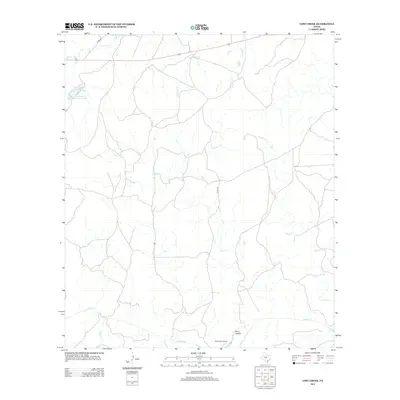
Historical Maps of Milburn Through Time
120 maps found

1925 Brady 1-a
San Saba County, TX
1925 San Saba 1-c
San Saba County, TX

1925 San Saba 2-b
San Saba County, TX

1925 San Saba 4-a
San Saba County, TX

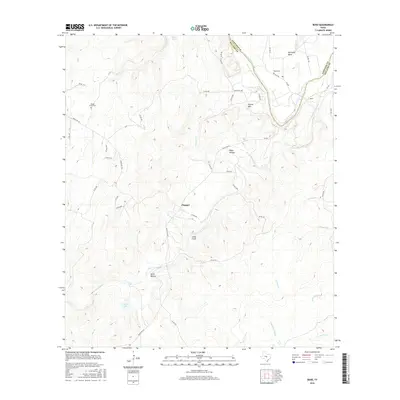
1931 Bend
San Saba County, TX
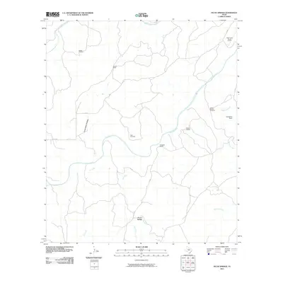
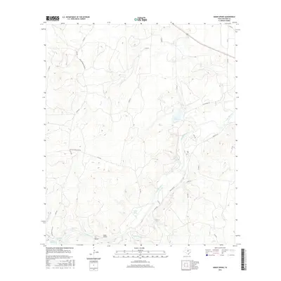
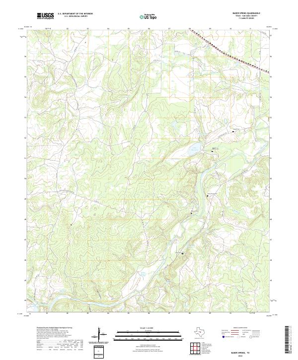
1955 Baker Spring
San Saba County, TX
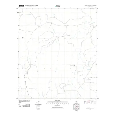
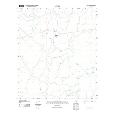
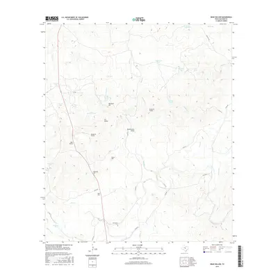
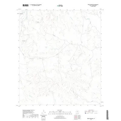
1955 Brady Mountian
San Saba County, TX
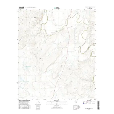
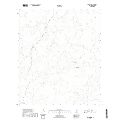
1955 Buffalo Knob
San Saba County, TX
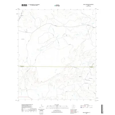
1955 Magill Mountain
San Saba County, TX
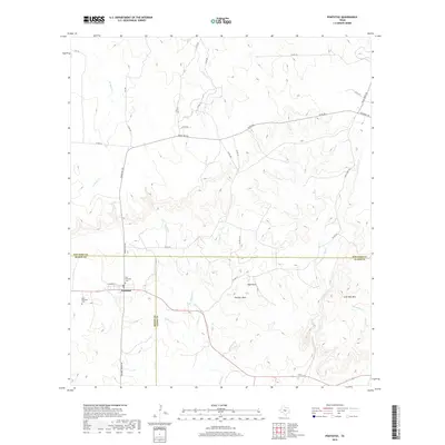
1955 Pontotoc
San Saba County, TX
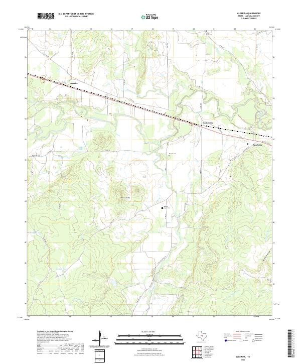
1956 Algerita
San Saba County, TX
1956 Algerita
San Saba County, TX
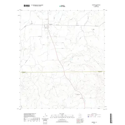
1956 Cherokee
San Saba County, TX
1956 Indian Hills
San Saba County, TX
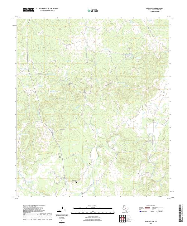
1959 Bear Hollow
San Saba County, TX
1959 Bend
San Saba County, TX
1959 Wolf Ridge
San Saba County, TX
1962 Fredonia
San Saba County, TX
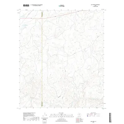
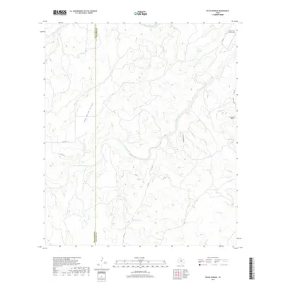
1963 Lost Creek
San Saba County, TX
1963 Pecan Springs
San Saba County, TX
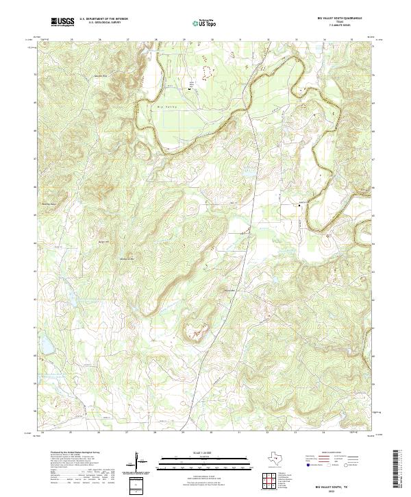
1979 Big Valley South
San Saba County, TX
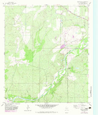
1979 Elm Grove
San Saba County, TX
1979 Hall
San Saba County, TX
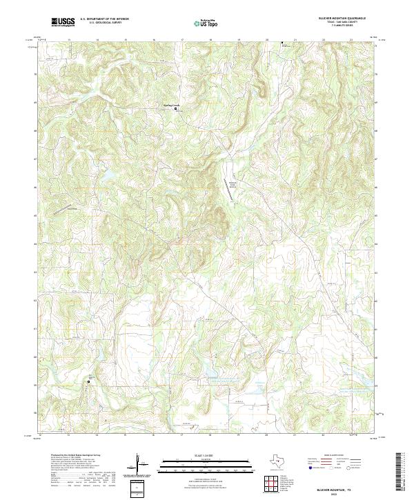
1980 Blucher Mountain
San Saba County, TX
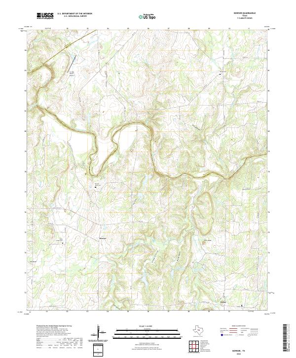
1980 Bowser
San Saba County, TX
2010 Algerita
San Saba County, TX
2010 Baker Spring
San Saba County, TX
2010 Bear Hollow
San Saba County, TX
2010 Bend
San Saba County, TX
2010 Big Valley South
San Saba County, TX
2010 Blucher Mountain
San Saba County, TX

2010 Bowser
San Saba County, TX
2010 Brady Mountain
San Saba County, TX
2010 Buffalo Knob
San Saba County, TX
2010 Cherokee
San Saba County, TX
2010 Elm Grove
San Saba County, TX
2010 Fredonia
San Saba County, TX
2010 Hall
San Saba County, TX
2010 Indian Hills
San Saba County, TX
2010 Lost Creek
San Saba County, TX
2010 Magill Mountain
San Saba County, TX
2010 Pecan Springs
San Saba County, TX
2010 Pontotoc
San Saba County, TX
2010 Wolf Ridge
San Saba County, TX
2012 Algerita
San Saba County, TX
2012 Bear Hollow
San Saba County, TX
2012 Bowser
San Saba County, TX
2012 Buffalo Knob
San Saba County, TX
2012 Cherokee
San Saba County, TX
2012 Fredonia
San Saba County, TX
2012 Indian Hills
San Saba County, TX
2012 Lost Creek
San Saba County, TX
2012 Magill Mountain
San Saba County, TX
2012 Pecan Springs
San Saba County, TX
2012 Pontotoc
San Saba County, TX
2012 Wolf Ridge
San Saba County, TX
2013 Baker Spring
San Saba County, TX
2013 Bend
San Saba County, TX
2013 Big Valley South
San Saba County, TX
2013 Blucher Mountain
San Saba County, TX
2013 Brady Mountain
San Saba County, TX
2013 Elm Grove
San Saba County, TX
2013 Hall
San Saba County, TX
2016 Algerita
San Saba County, TX
2016 Baker Spring
San Saba County, TX
2016 Bear Hollow
San Saba County, TX
2016 Bend
San Saba County, TX
2016 Big Valley South
San Saba County, TX
2016 Blucher Mountain
San Saba County, TX
2016 Bowser
San Saba County, TX
2016 Brady Mountain
San Saba County, TX
2016 Buffalo Knob
San Saba County, TX
2016 Cherokee
San Saba County, TX
2016 Elm Grove
San Saba County, TX
2016 Fredonia
San Saba County, TX
2016 Hall
San Saba County, TX
2016 Indian Hills
San Saba County, TX
2016 Lost Creek
San Saba County, TX
2016 Magill Mountain
San Saba County, TX
2016 Pecan Springs
San Saba County, TX
2016 Pontotoc
San Saba County, TX
2016 Wolf Ridge
San Saba County, TX
2019 Algerita
San Saba County, TX
2019 Baker Spring
San Saba County, TX
2019 Bear Hollow
San Saba County, TX
2019 Bend
San Saba County, TX
2019 Big Valley South
San Saba County, TX
2019 Blucher Mountain
San Saba County, TX
2019 Bowser
San Saba County, TX
2019 Brady Mountain
San Saba County, TX
2019 Buffalo Knob
San Saba County, TX
2019 Cherokee
San Saba County, TX
2019 Elm Grove
San Saba County, TX
2019 Fredonia
San Saba County, TX
2019 Hall
San Saba County, TX
2019 Indian Hills
San Saba County, TX
2019 Lost Creek
San Saba County, TX
2019 Magill Mountain
San Saba County, TX
2019 Pecan Springs
San Saba County, TX
2019 Pontotoc
San Saba County, TX
2019 Wolf Ridge
San Saba County, TX
2022 Algerita
San Saba County, TX
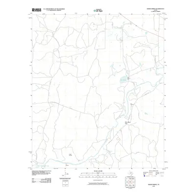
2022 Baker Spring
San Saba County, TX
2022 Bear Hollow
San Saba County, TX
2022 Bend
San Saba County, TX
2022 Big Valley South
San Saba County, TX
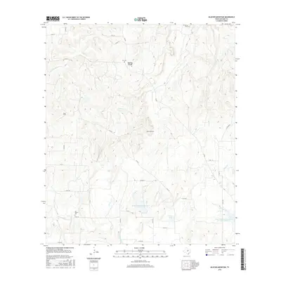
2022 Blucher Mountain
San Saba County, TX
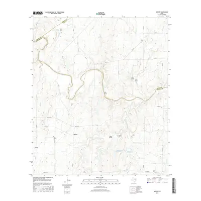
2022 Bowser
San Saba County, TX
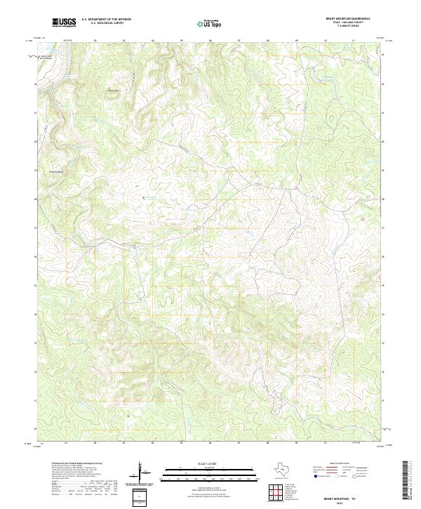
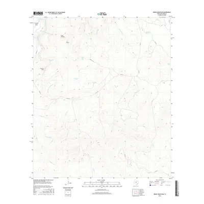
2022 Brady Mountain
San Saba County, TX
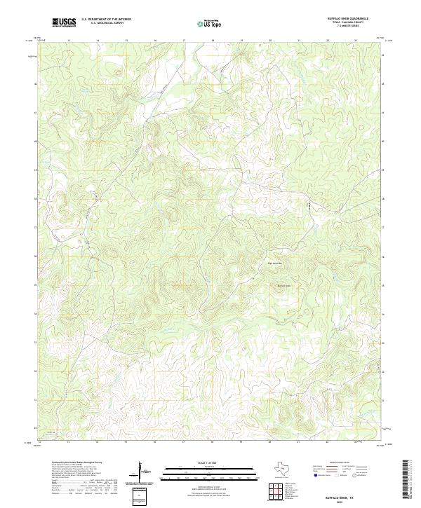
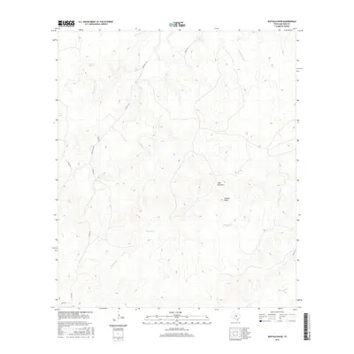
2022 Buffalo Knob
San Saba County, TX
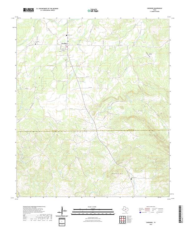
2022 Cherokee
San Saba County, TX
2022 Elm Grove
San Saba County, TX
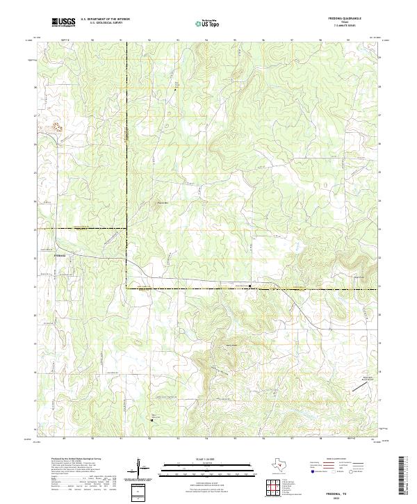
2022 Fredonia
San Saba County, TX
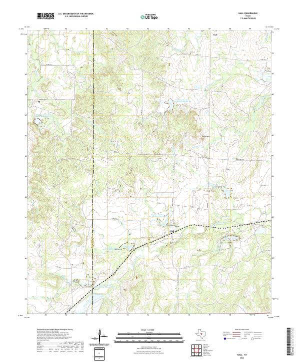
2022 Hall
San Saba County, TX
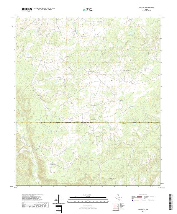
2022 Indian Hills
San Saba County, TX
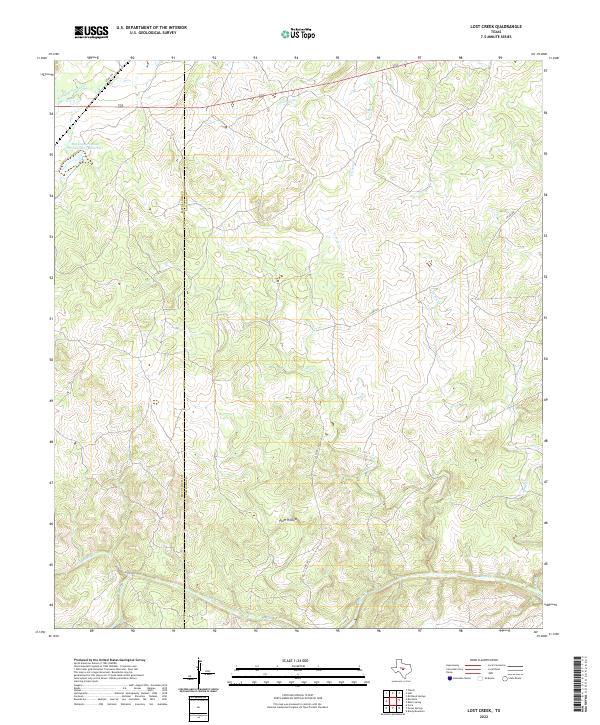
2022 Lost Creek
San Saba County, TX
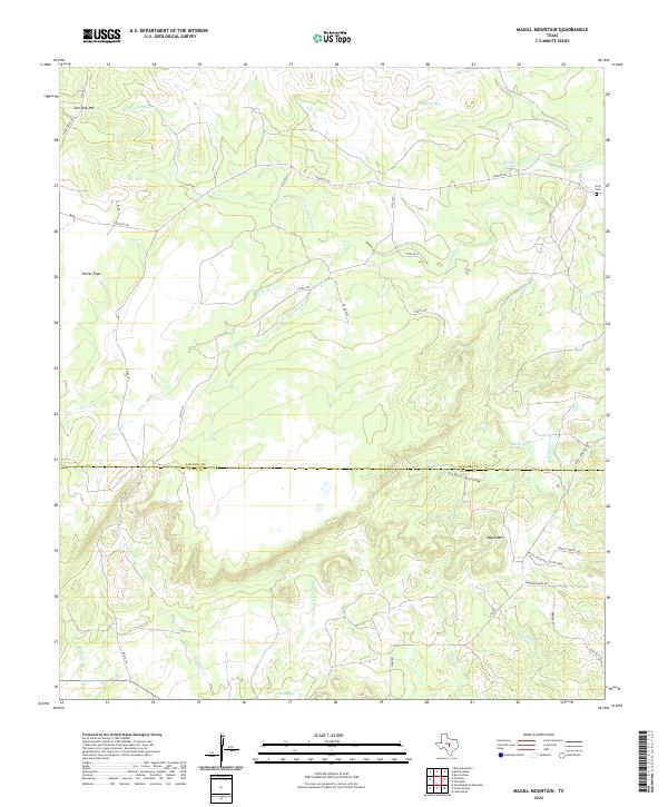
2022 Magill Mountain
San Saba County, TX
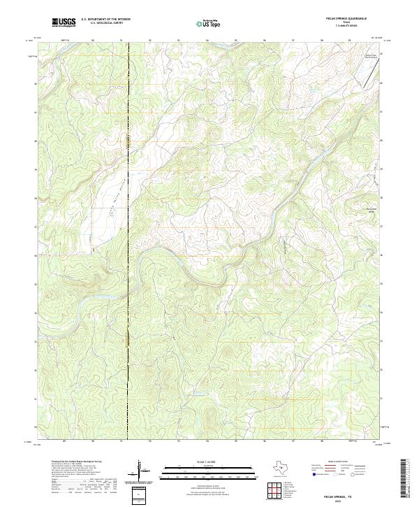
2022 Pecan Springs
San Saba County, TX
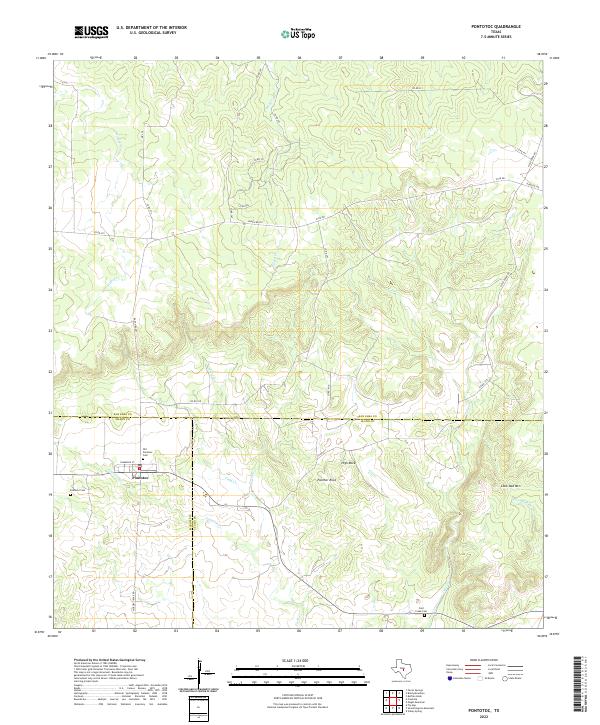
2022 Pontotoc
San Saba County, TX

2022 Wolf Ridge
San Saba County, TX