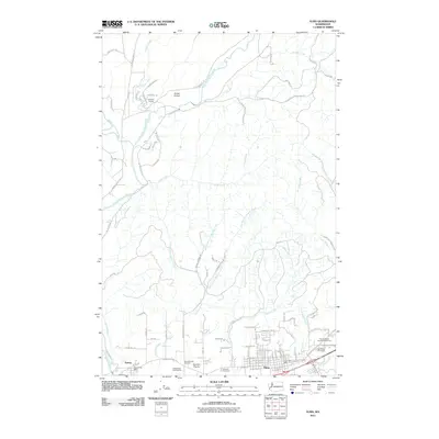
2011 Map of Elma
USGS Topo · Published 2011About this map
Elma serves as the primary hub of this landscape, situated at the confluence of several local stream systems and road networks. The town's civic infrastructure is well-defined, featuring the Elma Post Office and three distinct burial grounds including the Elma Catholic Cemetery, Masonic Cemetery, and Oddfellow Cemetery. The Grays Harbor County Fairgrounds sit on the eastern edge of town, while the Oaks Ridge Golf Course occupies land near Hunters Prairie to the west.
Find a feature on this map
91 named features on this map. Tap any name to fly to it.
Don’t see what you’re looking for? This feature index may not catch every label — zoom into the map to look around manually.
Map Details
Editions of this 2011 Elma Map
This is the sole edition of this map. No revisions or reprints were ever made.
Other maps of this area
1940 · Montesano
USGS Topo · 1:62,500
1941 · Mobray
USGS Topo · 1:62,500
1941 · Ford
USGS Topo · 1:62,500
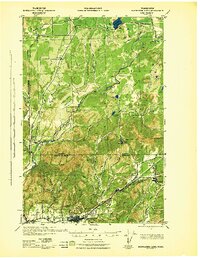
1943 · Nahwatzel Lake
USGS Topo · 1:62,500
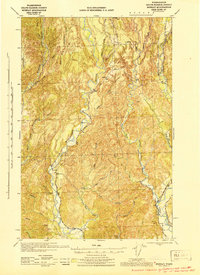
1943 · Mobray
USGS Topo · 1:62,500

1953 · Hoquiam
USGS Topo · 1:250,000
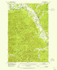
1953 · Malone
USGS Topo · 1:62,500
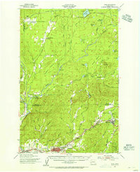
1953 · Elma
USGS Topo · 1:62,500
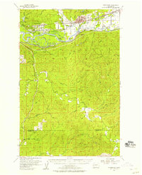
1955 · Montesano
USGS Topo · 1:62,500
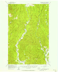
1955 · Wynoochee Valley
USGS Topo · 1:62,500