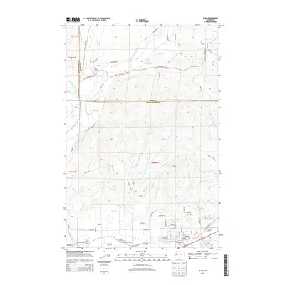
2014 Map of Elma
USGS Topo · Published 2014About this map
Elma serves as the focal point of this southwestern Washington survey, situated along the southern bend of the Satsop River as it approaches its confluence with larger regional waterways. The landscape transition is evident where the river plains meet the rising timberlands of the Olympic Peninsula foothills, marked by the distinct upland clearings of Horse Prairie and Hunters Prairie. Genealogists will find notable burial grounds preserved here, including the Oddfellow Cem, Masonic Cem, and Catholic Cem, which speak to the community's established social and fraternal history.
Find a feature on this map
99 named features on this map. Tap any name to fly to it.
Don’t see what you’re looking for? This feature index may not catch every label — zoom into the map to look around manually.
Map Details
Editions of this 2014 Elma Map
This is the sole edition of this map. No revisions or reprints were ever made.
Other maps of this area

1940 · Montesano
USGS Topo · 1:62,500

1941 · Mobray
USGS Topo · 1:62,500

1941 · Ford
USGS Topo · 1:62,500

1943 · Nahwatzel Lake
USGS Topo · 1:62,500

1943 · Mobray
USGS Topo · 1:62,500

1953 · Hoquiam
USGS Topo · 1:250,000

1953 · Malone
USGS Topo · 1:62,500

1953 · Elma
USGS Topo · 1:62,500

1955 · Montesano
USGS Topo · 1:62,500

1955 · Wynoochee Valley
USGS Topo · 1:62,500