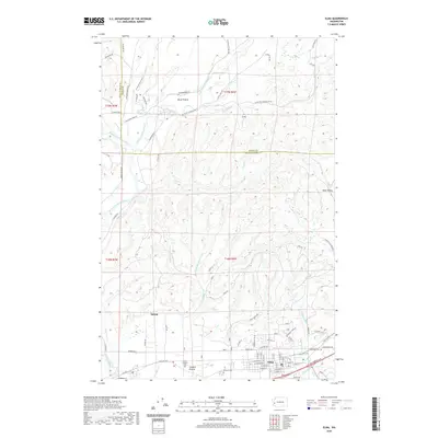
2020 Map of Elma
USGS Topo · Published 2020About this map
Elma serves as the primary hub in this portion of the Chehalis River valley, where the landscape transitions from the residential street grid of the town to the alluvial plains of Hunters Prairie and Horse Prairie. The drainage network is particularly dense, defined by the convergence of the Satsop River and its multiple forks with numerous creeks like Vance Cr and Newman Cr. For local historians and genealogists, the map reveals a clustered spiritual and civic history at the southern edge of town, where the Catholic Cem, Masonic Cem, and Oddfellow Cem are located. North of the town center, the terrain rises into timberlands marked by Logging Rd and the A-Line road, illustrating the enduring relationship between the local economy and the surrounding forests. Small outlying settlements like Satsop and Dear Valley anchor the western and eastern reaches of this Grays Harbor County landscape.
Find a feature on this map
87 named features on this map. Tap any name to fly to it.
Don’t see what you’re looking for? This feature index may not catch every label — zoom into the map to look around manually.
Map Details
Editions of this 2020 Elma Map
This is the sole edition of this map. No revisions or reprints were ever made.
Other maps of this area

1940 · Montesano
USGS Topo · 1:62,500

1941 · Mobray
USGS Topo · 1:62,500

1941 · Ford
USGS Topo · 1:62,500

1943 · Nahwatzel Lake
USGS Topo · 1:62,500

1943 · Mobray
USGS Topo · 1:62,500

1953 · Hoquiam
USGS Topo · 1:250,000

1953 · Malone
USGS Topo · 1:62,500

1953 · Elma
USGS Topo · 1:62,500

1955 · Montesano
USGS Topo · 1:62,500

1955 · Wynoochee Valley
USGS Topo · 1:62,500