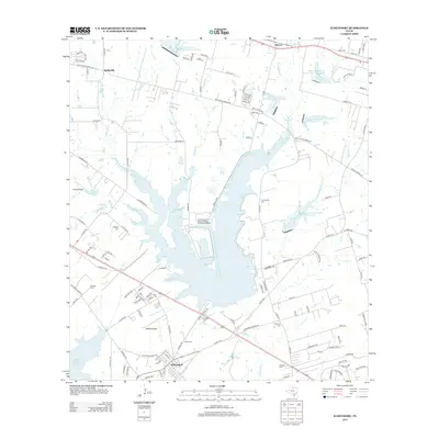
2013 Map of Elmendorf
USGS Topo · Published 2013About this map
Elmendorf serves as the primary settlement in this Bexar County landscape, where industrial infrastructure and water management define the modern geography. The presence of the O W Somerset-J T Deely-J K Spruce Generating Complex on the shores of Calaveras Lake marks the area's role in regional power production. This massive reservoir, along with the edge of Victor Braunig Lake, transformed the drainage of Calaveras Cr and Parita Cr into a complex of engineered water bodies and conservation sites.
Find a feature on this map
126 named features on this map. Tap any name to fly to it.
Don’t see what you’re looking for? This feature index may not catch every label — zoom into the map to look around manually.
Map Details
Editions of this 2013 Elmendorf Map
This is the sole edition of this map. No revisions or reprints were ever made.
Other maps of this area
1936 · Floresville
USGS Topo · 1:62,500
1953 · San Antonio East
USGS Topo · 1:24,000
1953 · Elmendorf
USGS Topo · 1:24,000
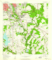
1953 · Southton
USGS Topo · 1:24,000
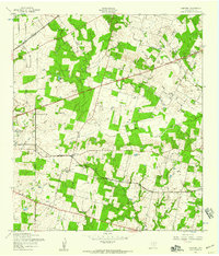
1953 · Martinez
USGS Topo · 1:24,000

1954 · San Antonio
USGS Topo · 1:250,000
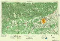
1957 · San Antonio
USGS Topo · 1:250,000
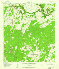
1958 · Losoya
USGS Topo · 1:24,000
1958 · La Vernia SW
USGS Topo · 1:24,000
1958 · Saspamco
USGS Topo · 1:24,000