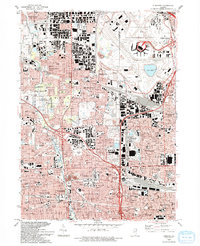
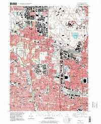
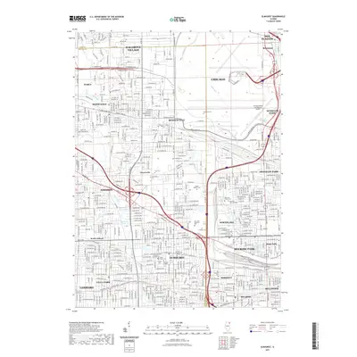
1993 Map of Elmhurst
USGS Topo · Published 1993About this map
Chicago O'Hare International Airport dominates the northeast landscape of this 1993 revision, showcasing the intricate network of radio facilities, towers, and the distinctive Lake O'Hare. The map captures the dense suburban expansion of eastern DuPage County and western Cook County, where residential blocks and industrial zones press against the winding corridor of Salt Creek. This riparian spine is protected by a series of contiguous preserves, including the Salt Creek Co Forest Preserve and Oak Meadows Co Forest Preserve. Centered on the educational hub of Elmhurst College, the area reveals a deeply established social fabric of parochial schools like St Marys Sch and large memorial grounds such as Mount Emblem Cemetery. The transit-oriented development is evident along the Chicago and North Western rail lines, which historically shaped the growth of communities like Villa Park and Bensenville.
Find a feature on this map
89 named features on this map. Tap any name to fly to it.
Don’t see what you’re looking for? This feature index may not catch every label — zoom into the map to look around manually.
Map Details
Editions of this 1993 Elmhurst Map
This is the sole edition of this map. No revisions or reprints were ever made.
Historical Maps of Chicago Through Time
10 maps found
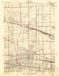
1928 Elmhurst
DuPage County, IL
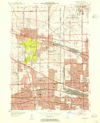
1953 Elmhurst
DuPage County, IL
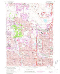
1963 Elmhurst
DuPage County, IL
1993 Elmhurst
DuPage County, IL
1997 Elmhurst
DuPage County, IL
2012 Elmhurst
DuPage County, IL
2015 Elmhurst
DuPage County, IL
2018 Elmhurst
DuPage County, IL
2021 Elmhurst
DuPage County, IL
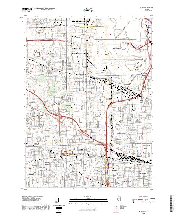
2024 Elmhurst
DuPage County, IL