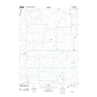
1984 Map of Elmira
USGS Topo · Published 1984About this map
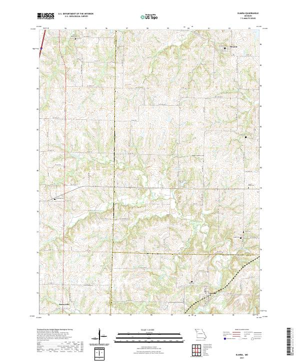
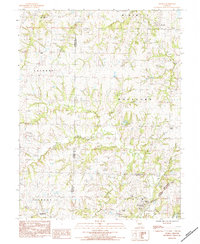
The Chicago Milwaukee St Paul and North Western Pacific railroad cuts through the southeastern corner of this map, serving the community of Elmira. This late-twentieth-century landscape is defined by the convergence of three counties—Clinton, Caldwell, and Ray—creating a patchwork of rural townships including Mirabile, Rockford, and Jackson. The terrain is deeply carved by the Crooked River and its South Fork, alongside numerous tributaries like Goose Creek and Log Creek. Small family and community landmarks are scattered throughout the agricultural uplands, including Sloan Cem and Allen Cem. The presence of the Martin Landing Strip near Polk township and a Radio Tower in Lathrop indicates the integration of mid-century infrastructure into this traditionally agrarian region.
Find a feature on this map
33 named features on this map. Tap any name to fly to it.
Don’t see what you’re looking for? This feature index may not catch every label — zoom into the map to look around manually.
Map Details
Editions of this 1984 Elmira Map
This is the sole edition of this map. No revisions or reprints were ever made.
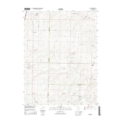
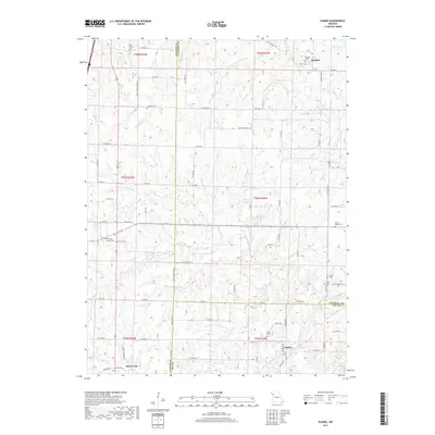
Historical Maps of Mirabile Through Time
5 maps found