
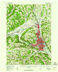
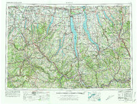
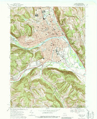
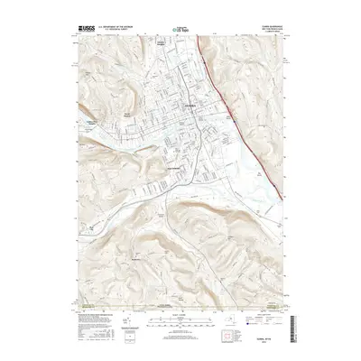
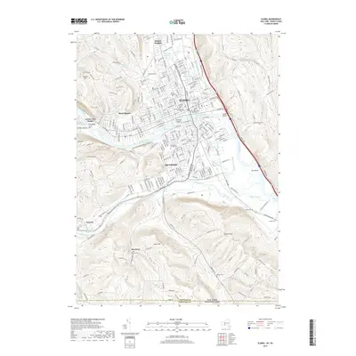
1953 Map of Elmira
USGS Topo · Published 1961About this map
Industrial and institutional development along the Chemung River valley characterizes this mid-century look at the southern tier of New York. The urban core of Elmira and Elmira Heights is documented in detail, showing a dense grid of residential and commercial expansion during the early 1950s. The map illustrates the significance of the New York Central and Erie Lackawanna rail lines in shaping the corridor through Horseheads and Big Flats.
Find a feature on this map
87 named features on this map. Tap any name to fly to it.
Don’t see what you’re looking for? This feature index may not catch every label — zoom into the map to look around manually.
Map Details
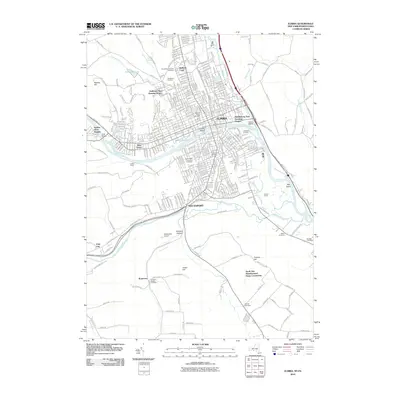
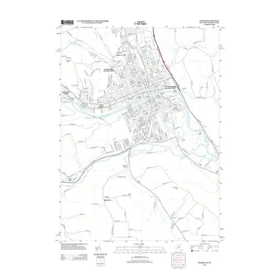
Editions of this 1953 Elmira Map
2 editions found
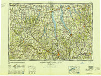
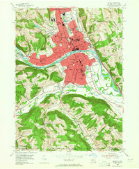
Historical Maps of Elmira Through Time
15 maps found
1895 Elmira
Chemung County, NY
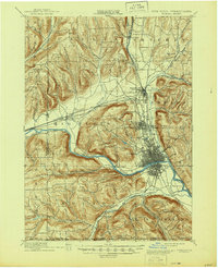
1950 Elmira
Chemung County, NY
1953 Elmira
Chemung County, NY
1953 Elmira
Chemung County, NY

1958 Elmira
Chemung County, NY
1962 Elmira
Chemung County, NY

1965 Elmira
Chemung County, NY
1969 Elmira
Chemung County, NY

1986 Elmira
Chemung County, NY

1992 Elmira
Chemung County, NY
2010 Elmira
Chemung County, NY
2013 Elmira
Chemung County, NY
2016 Elmira
Chemung County, NY
2019 Elmira
Chemung County, NY

2023 Elmira
Chemung County, NY