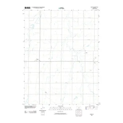
2009 Map of Elmo
USGS Topo · Published 2009About this map
The agrarian landscape of Dickinson County is defined here by the intricate drainage systems of Turkey Creek and its many tributaries, including West Branch Turkey Creek and East Turkey Creek. These waterways carve winding paths through a grid of section roads like Gulf Rd and Key Rd, revealing the late 20th-century rural structure of the region. The small settlements of Elmo and Dillon serve as the primary focal points for this farming community, showing the persistence of these rail-side hamlets into the modern era.
Find a feature on this map
20 named features on this map. Tap any name to fly to it.
Don’t see what you’re looking for? This feature index may not catch every label — zoom into the map to look around manually.
Map Details
Editions of this 2009 Elmo Map
This is the sole edition of this map. No revisions or reprints were ever made.
Other maps of this area

1889 · Abilene
USGS Topo · 1:125,000

1894 · Abilene
USGS Topo · 1:125,000

1955 · Hutchinson
USGS Topo · 1:250,000

1959 · Hutchinson
USGS Topo · 1:250,000

1963 · Abilene SW
USGS Topo · 1:24,000
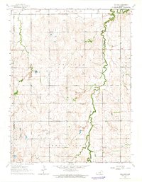
1963 · Holland
USGS Topo · 1:24,000

1964 · Elmo
USGS Topo · 1:24,000

1964 · Carlton
USGS Topo · 1:24,000

1964 · Ramona
USGS Topo · 1:24,000

1964 · Navarre
USGS Topo · 1:24,000