2022 Map of Elmore
USGS Topo · Published 2022About this map
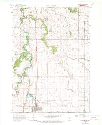
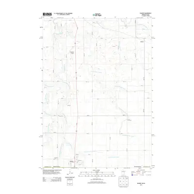
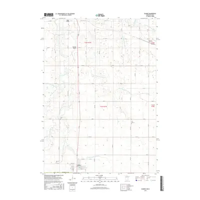
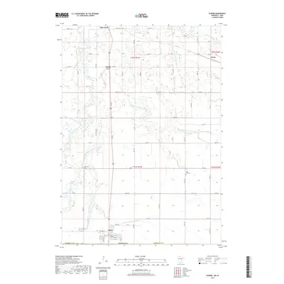
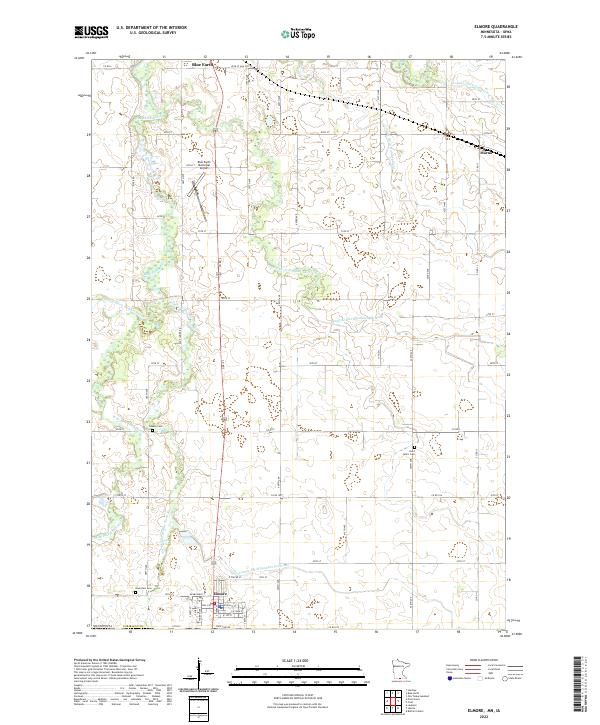
Elmore stands at the southern edge of Faribault County, where the grid of rural roads meets State Line Rd at the Iowa border. This prairie landscape is defined by its complex drainage network, where the W Br Blue Earth River and Middle Br Blue Earth River converge as they flow north toward Blue Earth. The map documents a highly managed agricultural environment, evidenced by numerous man-made waterways like Judicial Ditch Number Seven and County Ditch Number Fortyone, which support the region's productive farmland. Local heritage is preserved in several burial grounds including Dobson Cem and Saint John's Cem, while modern infrastructure is represented by the Blue Earth Municipal Airport and the small settlement of Marna to the northeast.
Find a feature on this map
50 named features on this map. Tap any name to fly to it.
Don’t see what you’re looking for? This feature index may not catch every label — zoom into the map to look around manually.
Map Details
Editions of this 2022 Elmore Map
This is the sole edition of this map. No revisions or reprints were ever made.
Historical Maps of Blue Earth Through Time
6 maps found