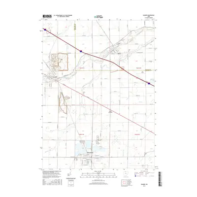
2016 Map of Elmore
USGS Topo · Published 2016About this map
The Portage River winds through this Northwest Ohio landscape, anchoring the historic communities of Woodville, Elmore, and Gibsonburg. This 2016 survey captures the area’s deep-rooted agricultural and civic layout, notably the concentration of cemeteries such as Veterans Memorial Cem, Union Cem, and Saint Lawrence Cem that serve as vital touchstones for family history researchers. Large-scale industrial quarrying operations are evident on the outskirts of Woodville, contrasting with the surrounding rural townships. The map details a transition from the village centers to the outlying crossroads, including the aptly named Busy Corners and the local aviation history represented by Haar Airport. Numerous watercourses, from Wolf Cr to Sugar Creek, define the drainage patterns across the Sandusky and Ottawa county line.
Find a feature on this map
98 named features on this map. Tap any name to fly to it.
Don’t see what you’re looking for? This feature index may not catch every label — zoom into the map to look around manually.
Map Details
Editions of this 2016 Elmore Map
This is the sole edition of this map. No revisions or reprints were ever made.
Other maps of this area
1900 · Maumee Bay
USGS Topo · 1:62,500
1900 · Oak Harbor
USGS Topo · 1:62,500
1901 · Fremont
USGS Topo · 1:62,500
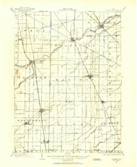
1901 · Elmore
USGS Topo · 1:62,500
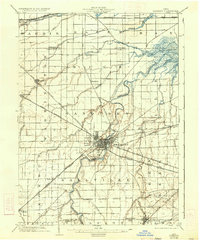
1903 · Fremont
USGS Topo · 1:62,500
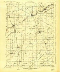
1903 · Elmore
USGS Topo · 1:62,500
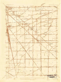
1935 · Walbridge
USGS Topo · 1:24,000
1935 · Genoa
USGS Topo · 1:24,000
1938 · Walbridge
USGS Topo · 1:31,680
1938 · Genoa
USGS Topo · 1:31,680